AGROS
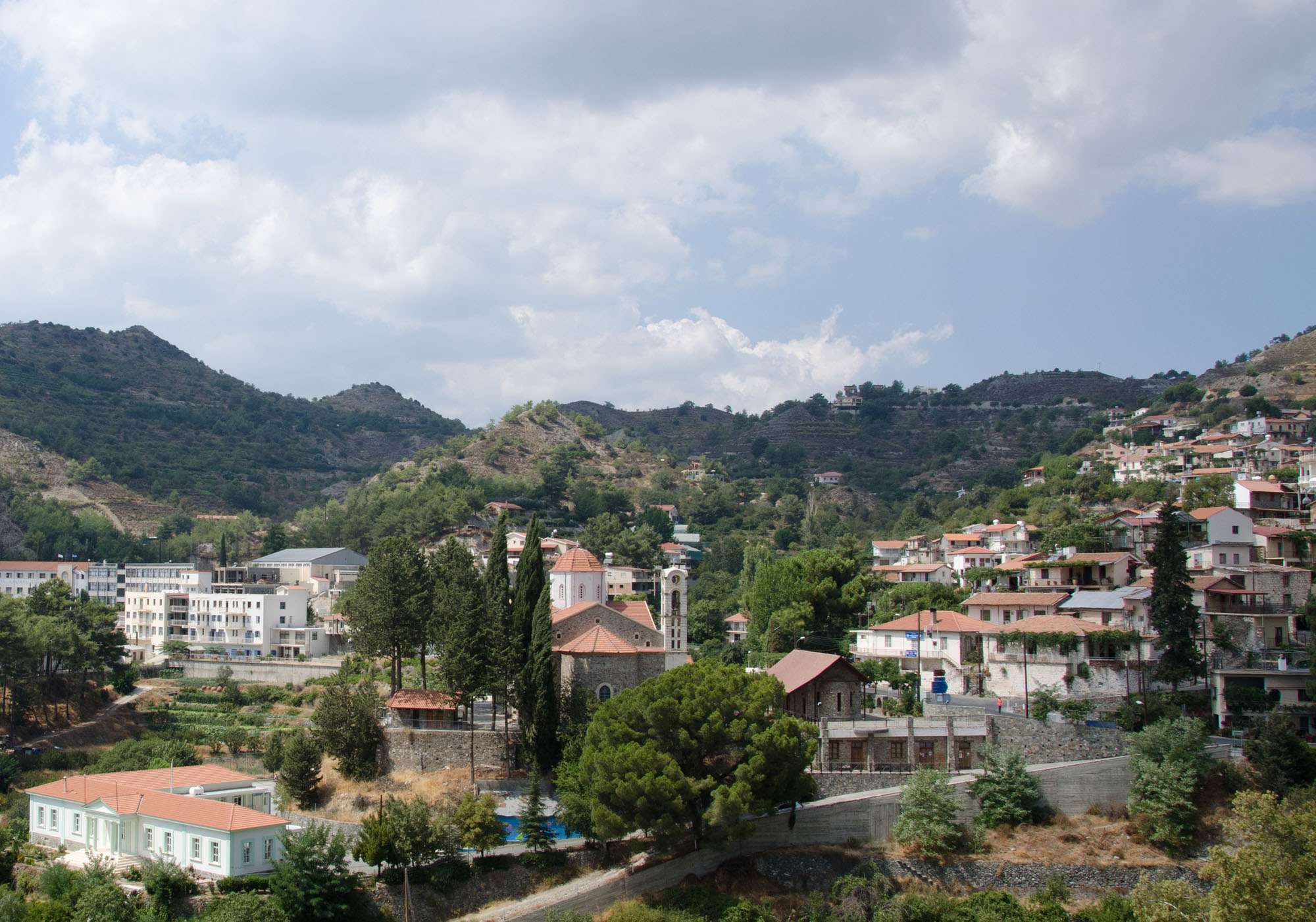
Located in the Troodos mountain range, in the Pitsilia area of the Lemesos (Limassol) district, Agros sits at an altitude of 1.100 metres.
Agros population is 800 people and is one of the most attractive villages of Cyprus and the Pitsillia area. Historical and cultural sites are kept in a natural environment of amazing beauty with the village maintaining the customs and its traditional character. The village’s modern highways make it a connection point between the cities of Nicosia and Limassol and the mountain of Troodos.
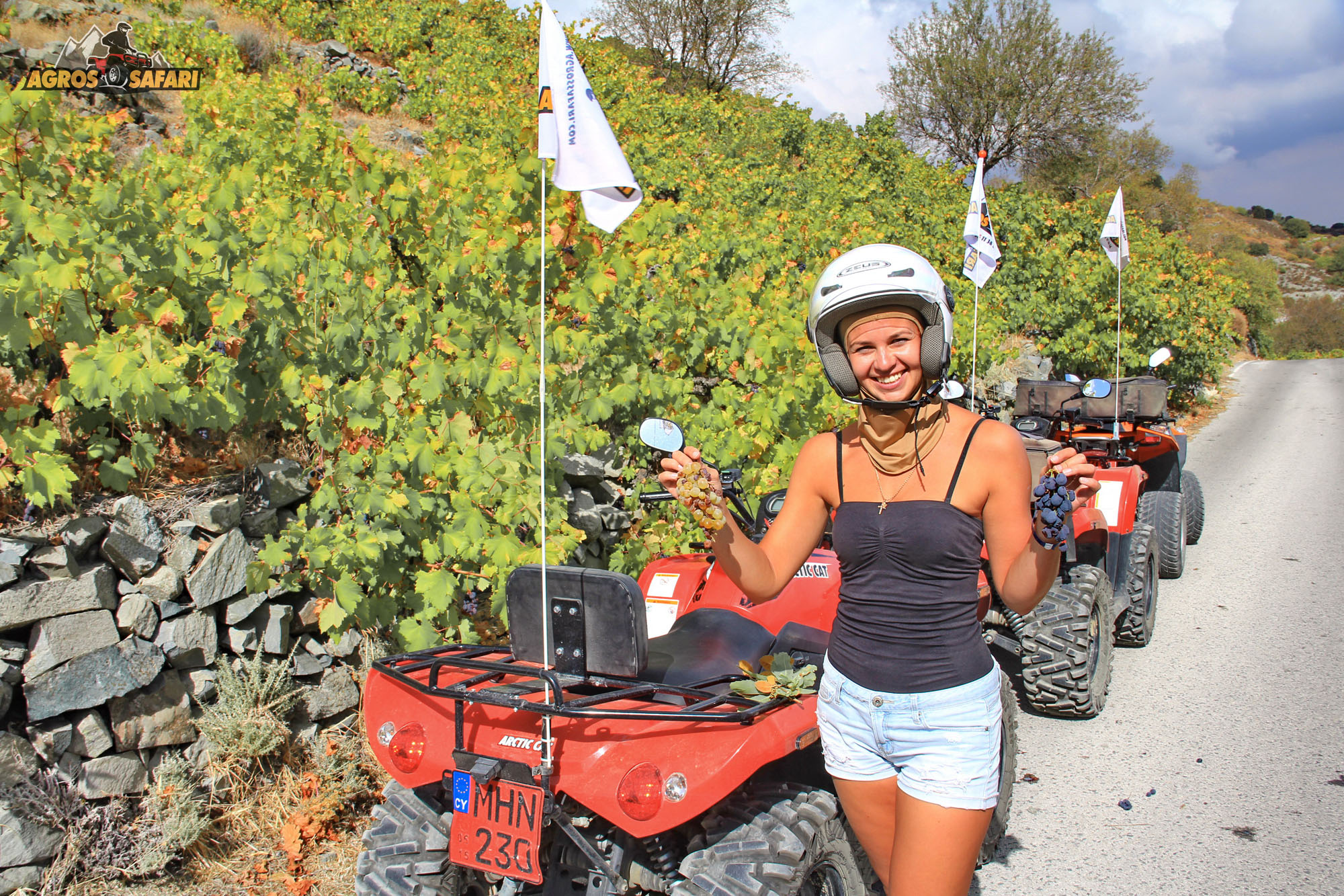
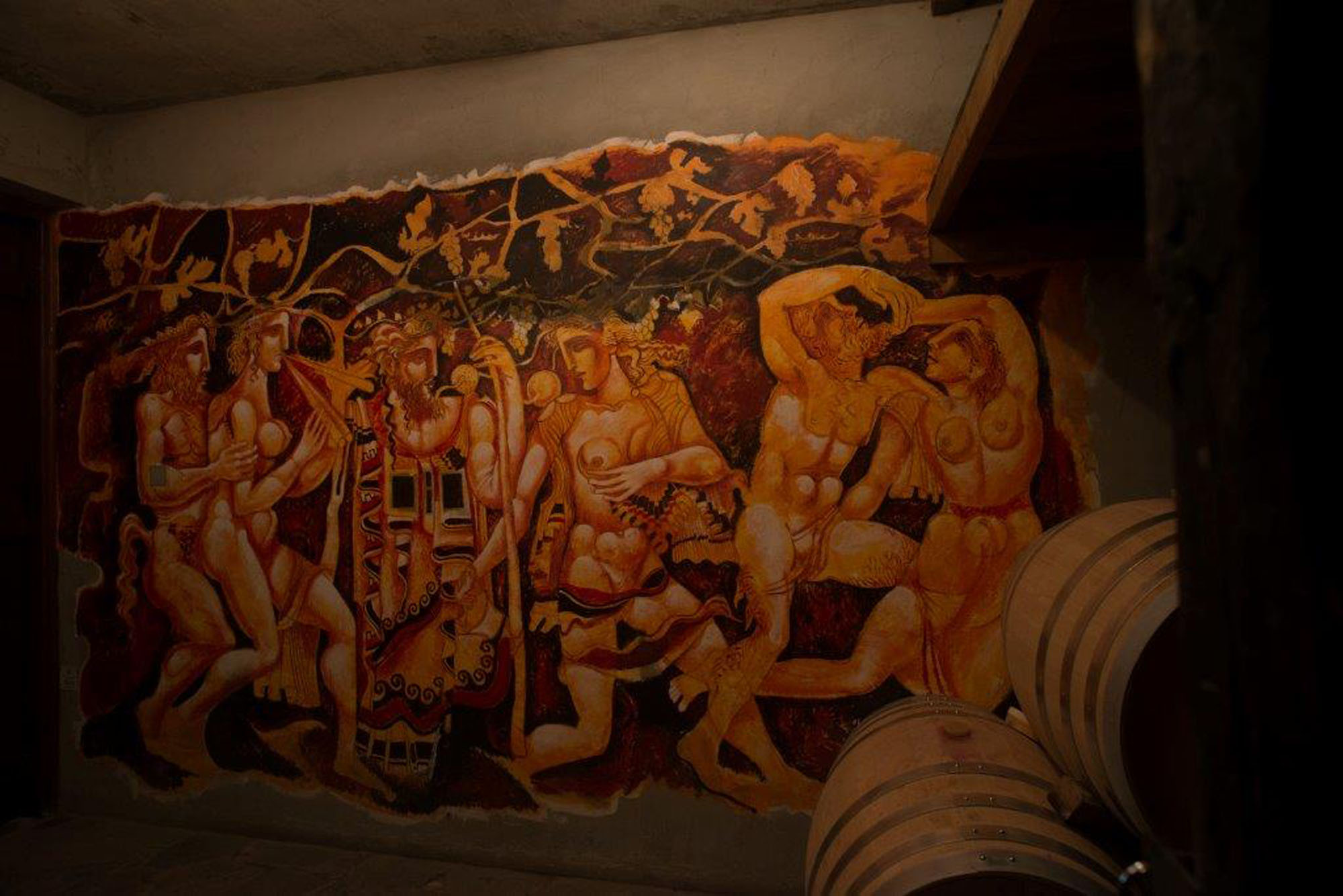
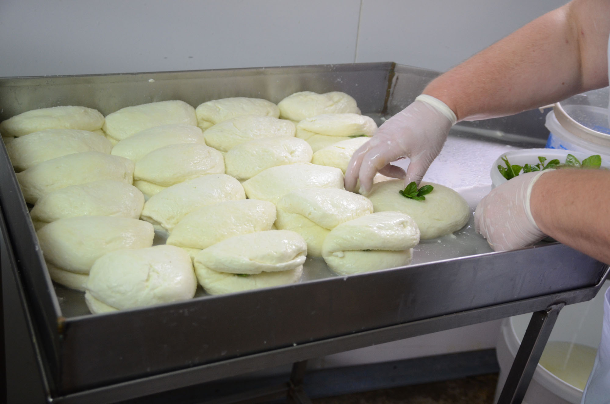
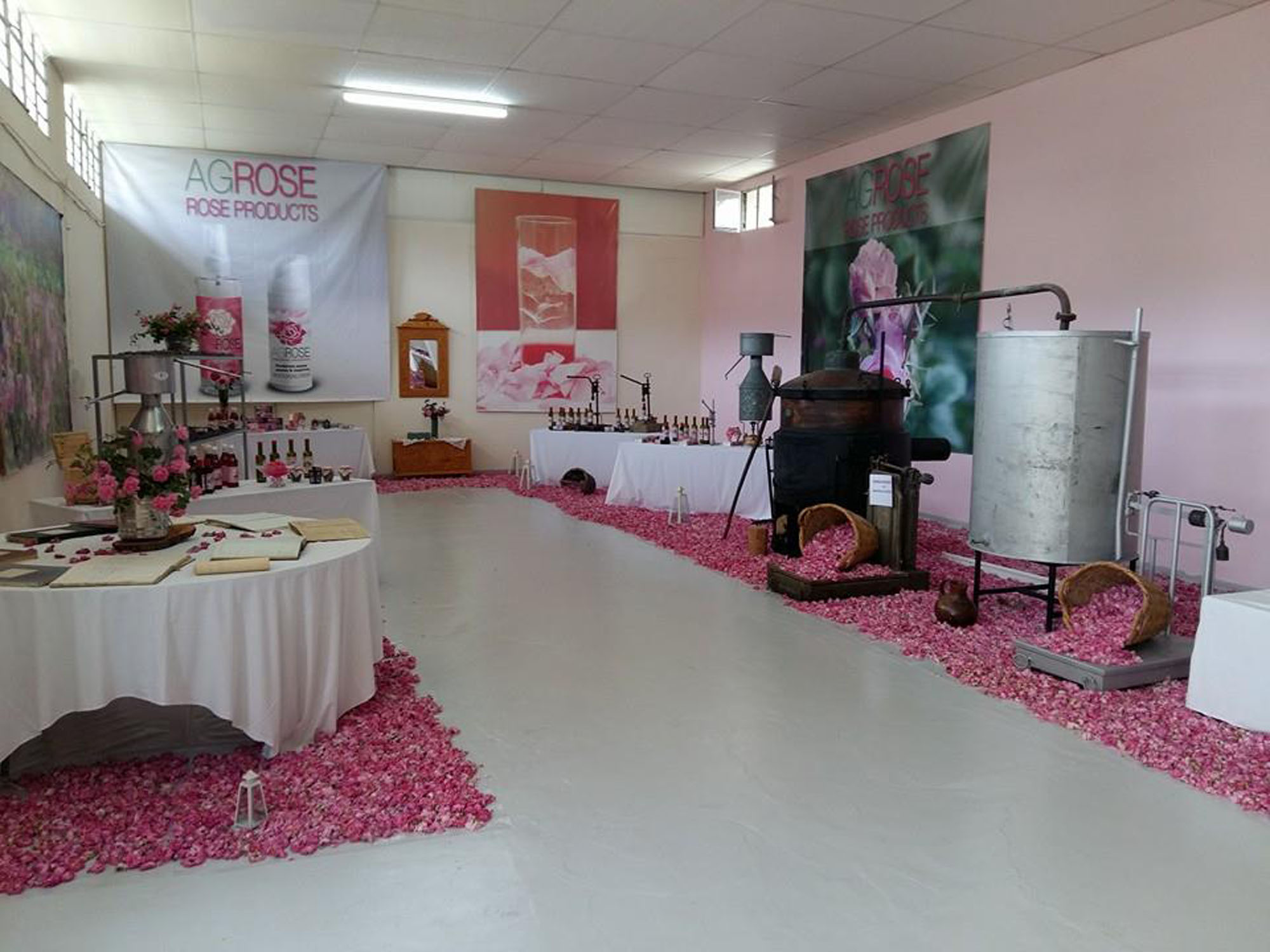
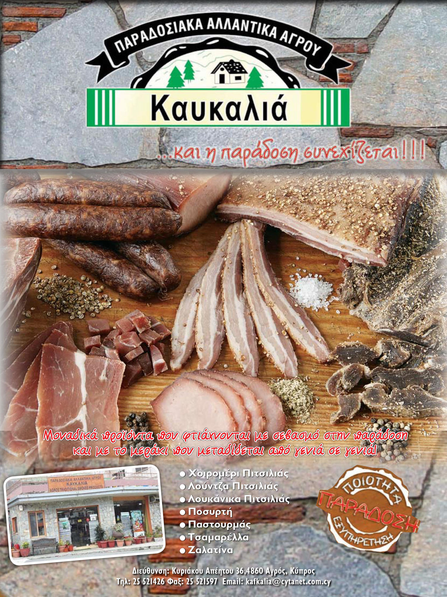
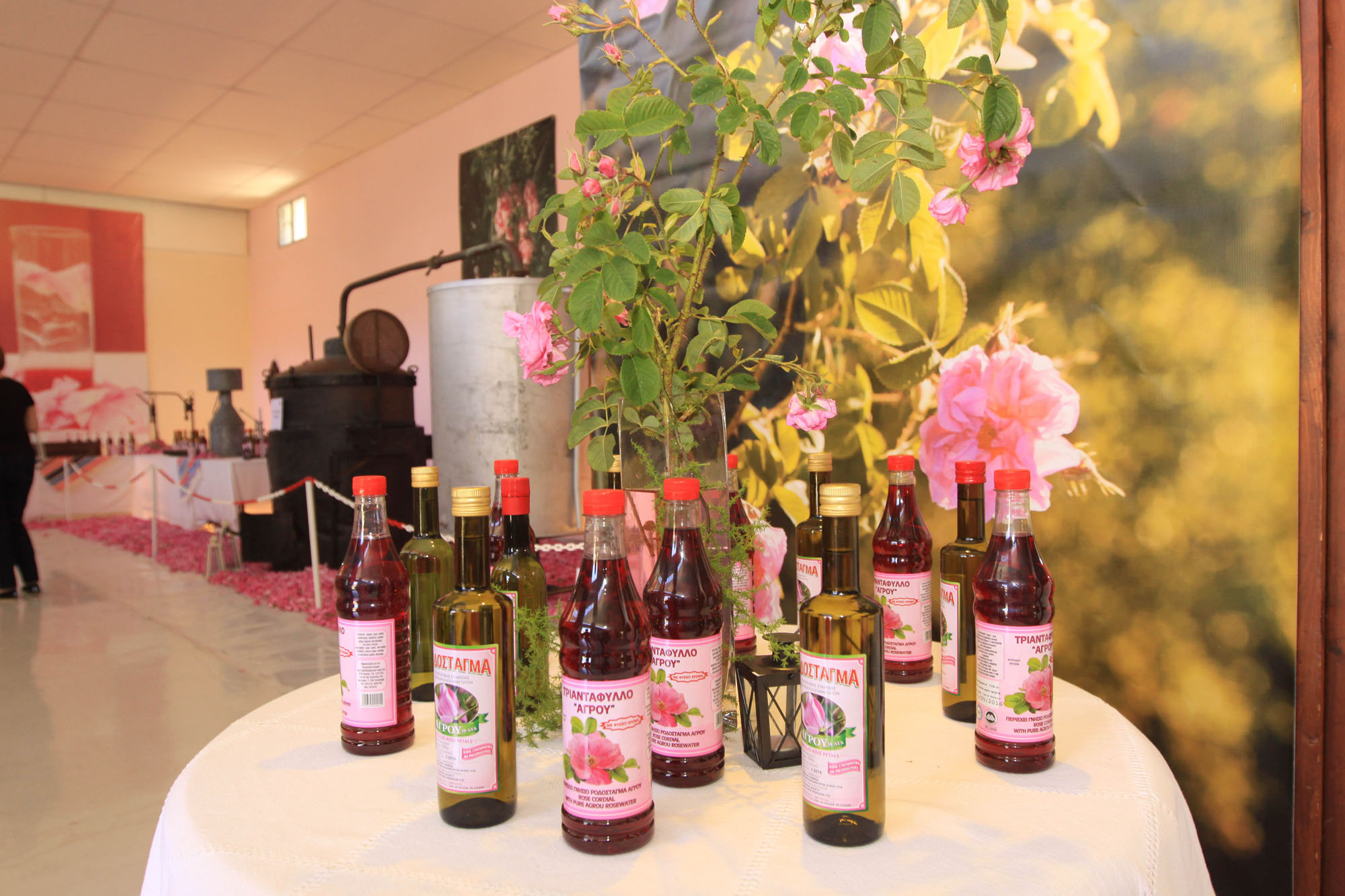
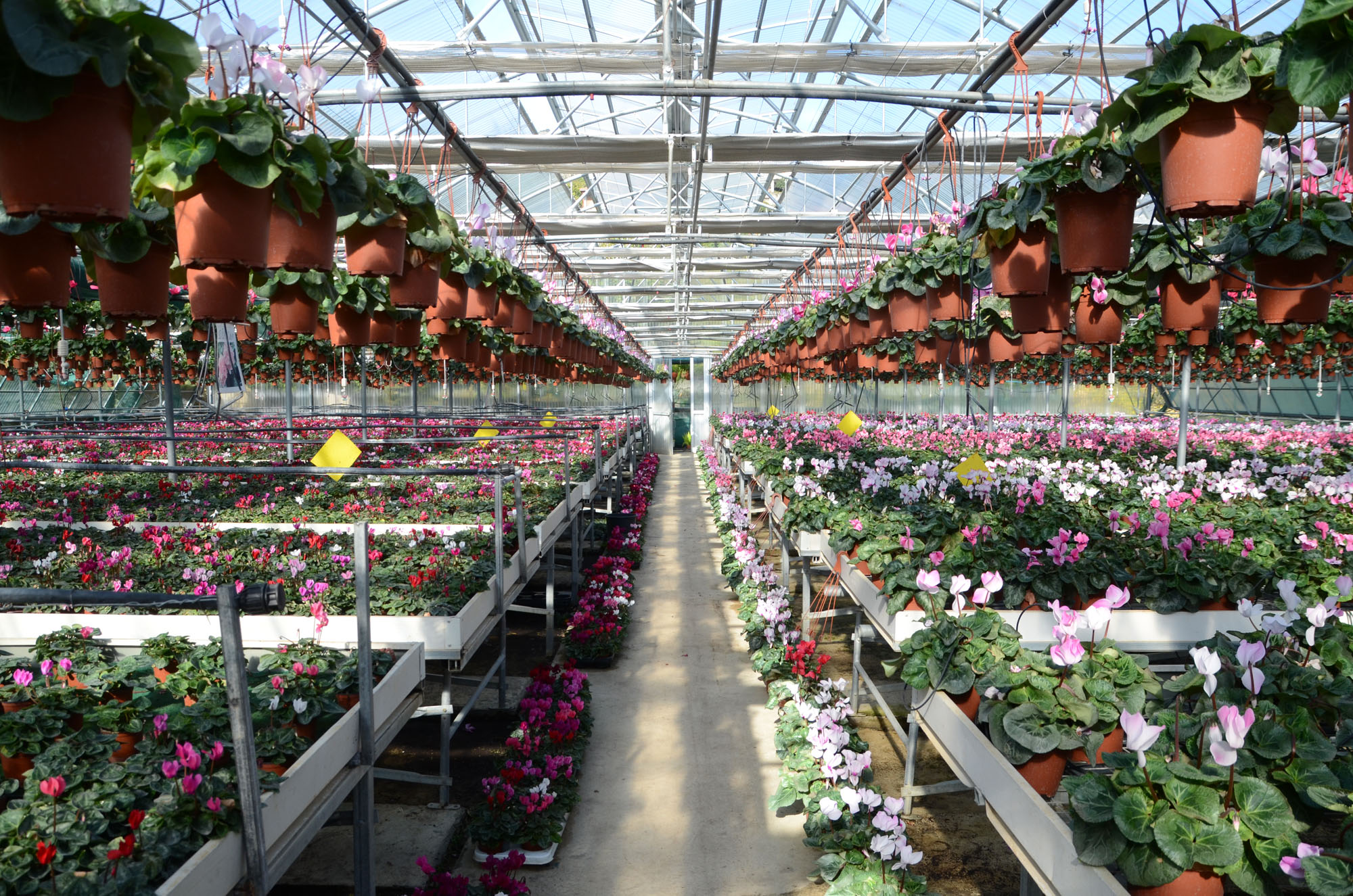
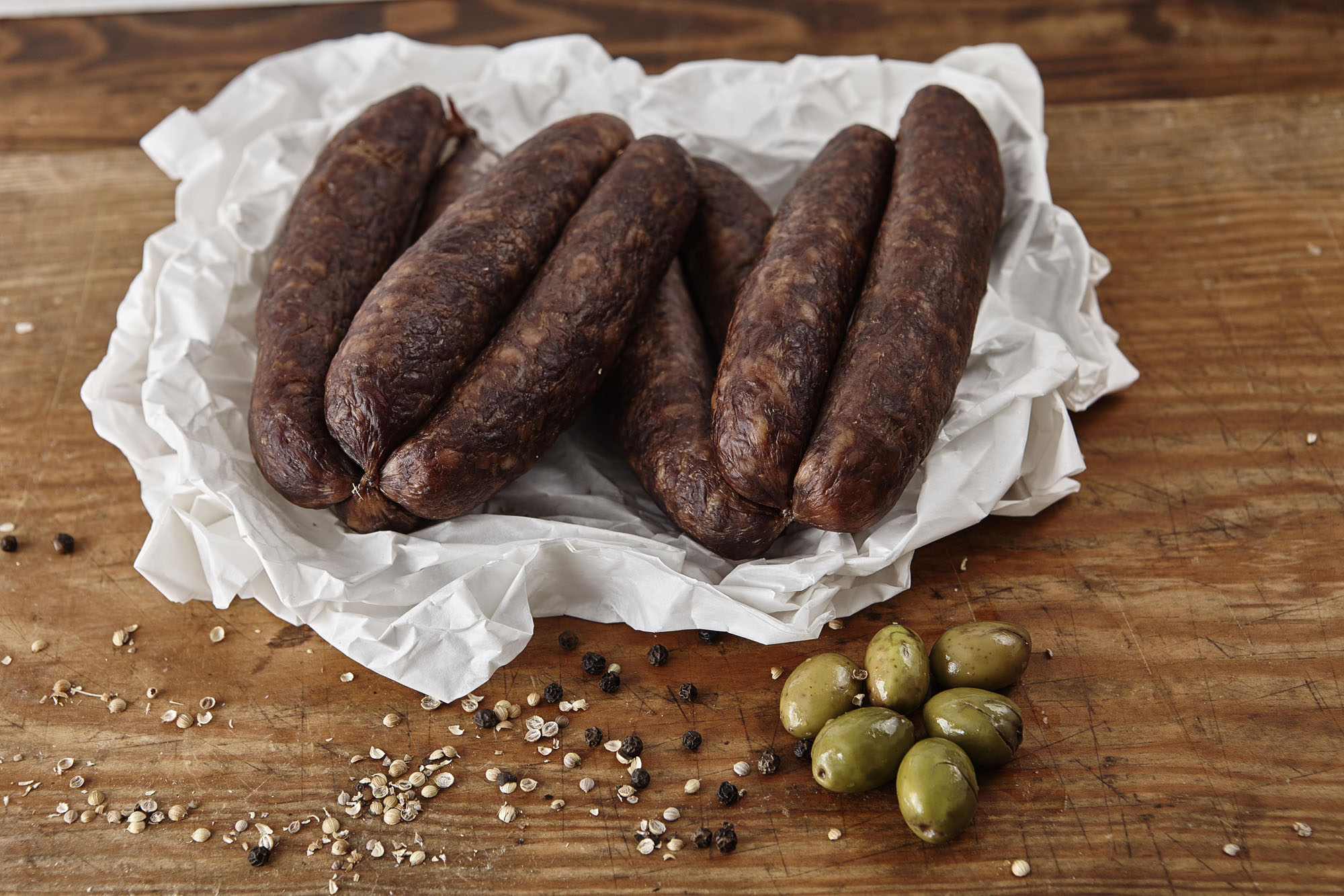
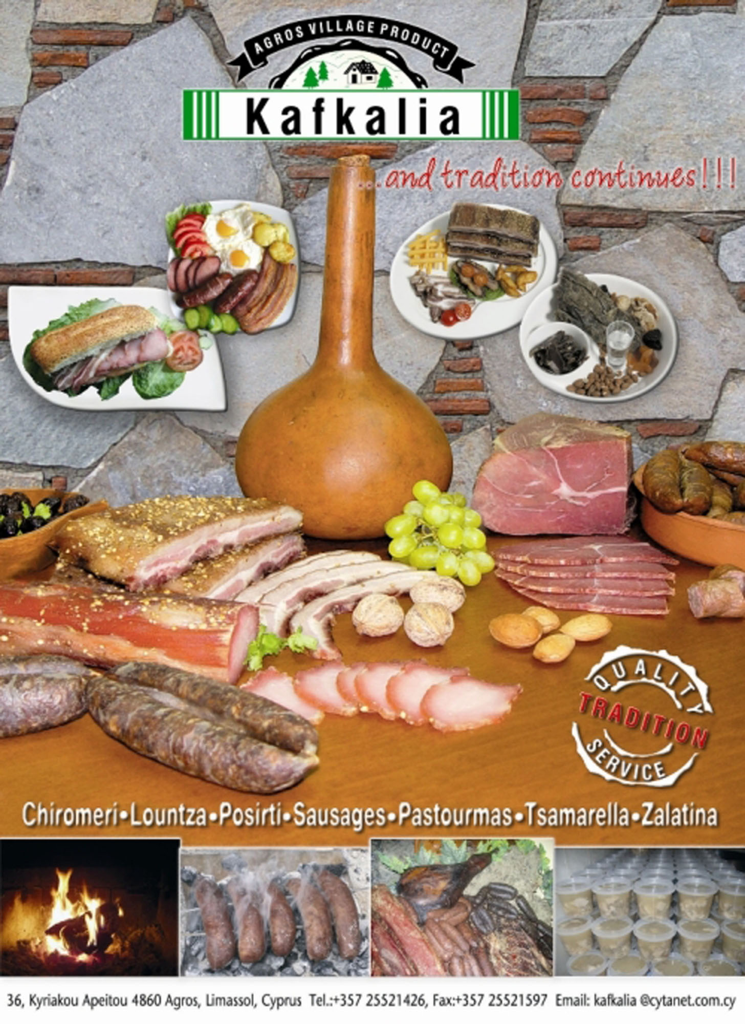
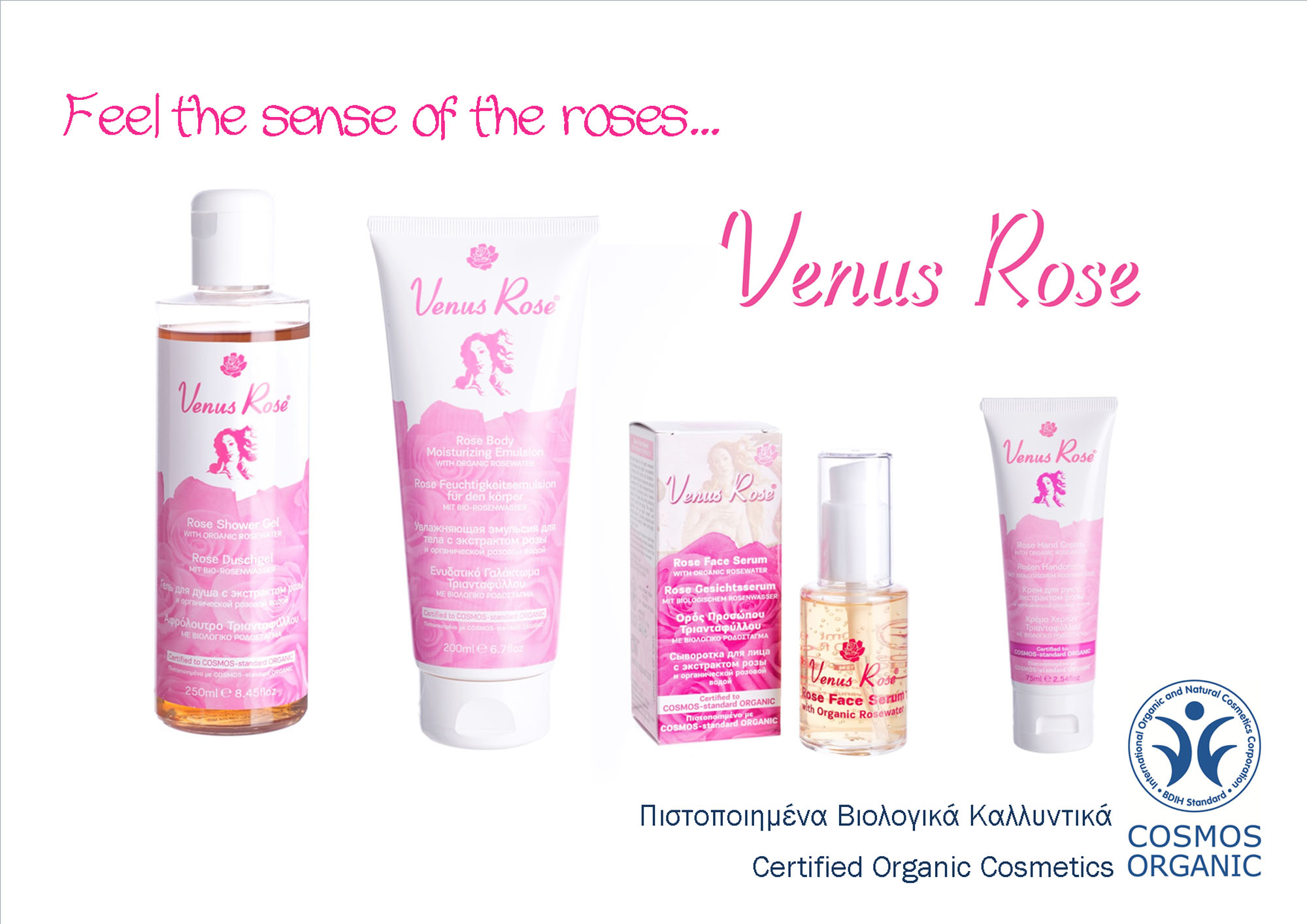
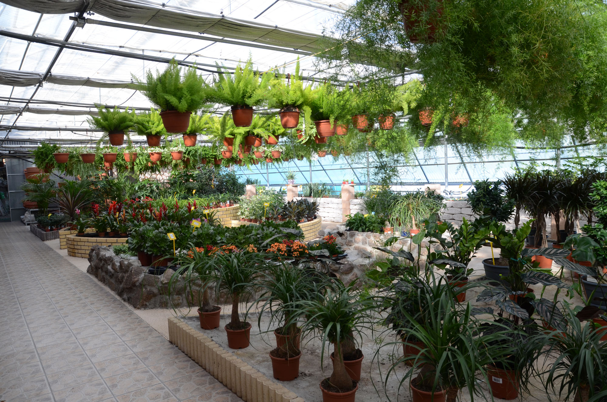
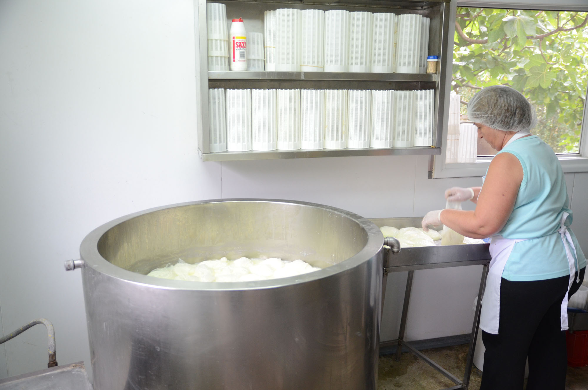
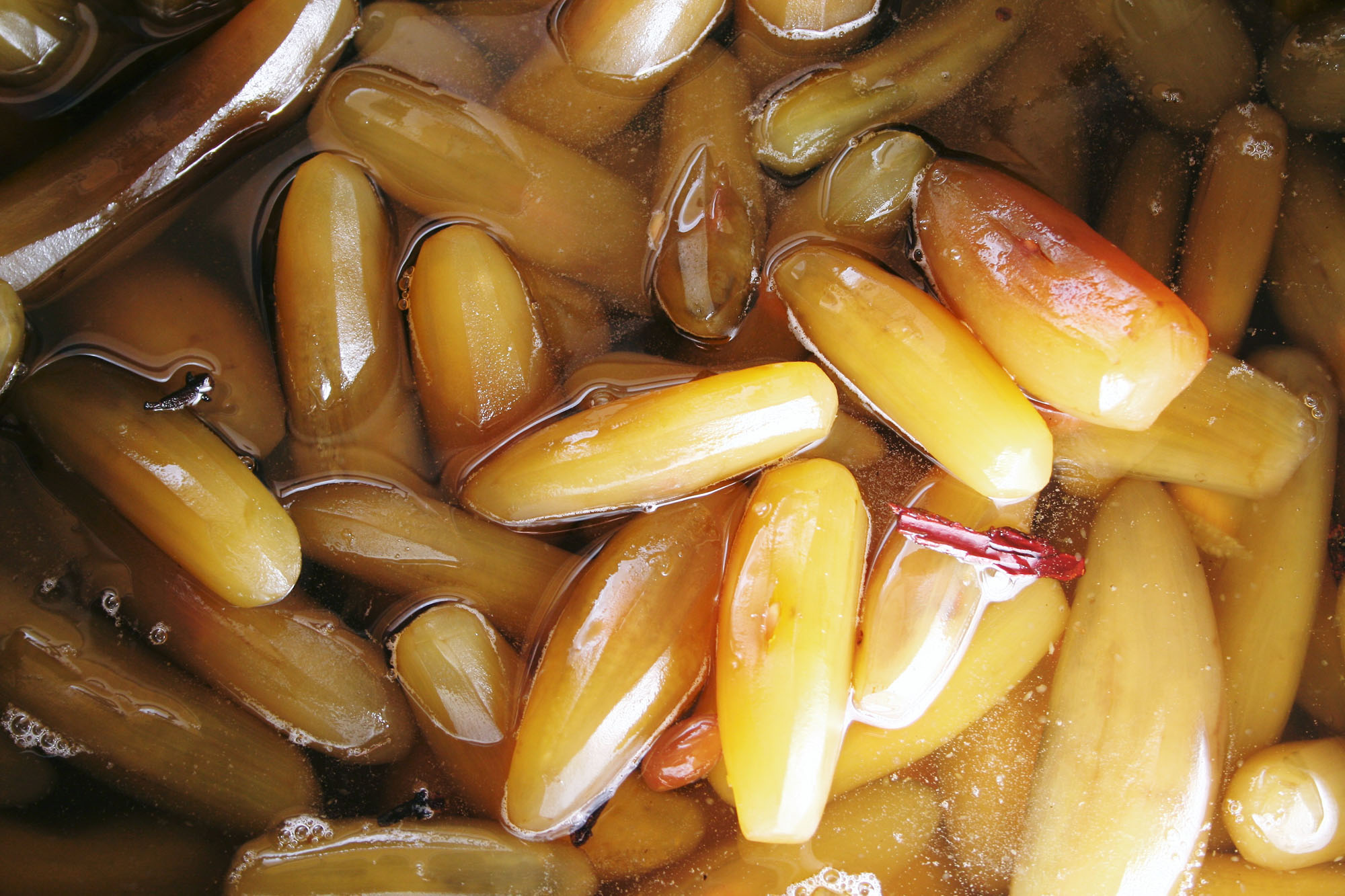
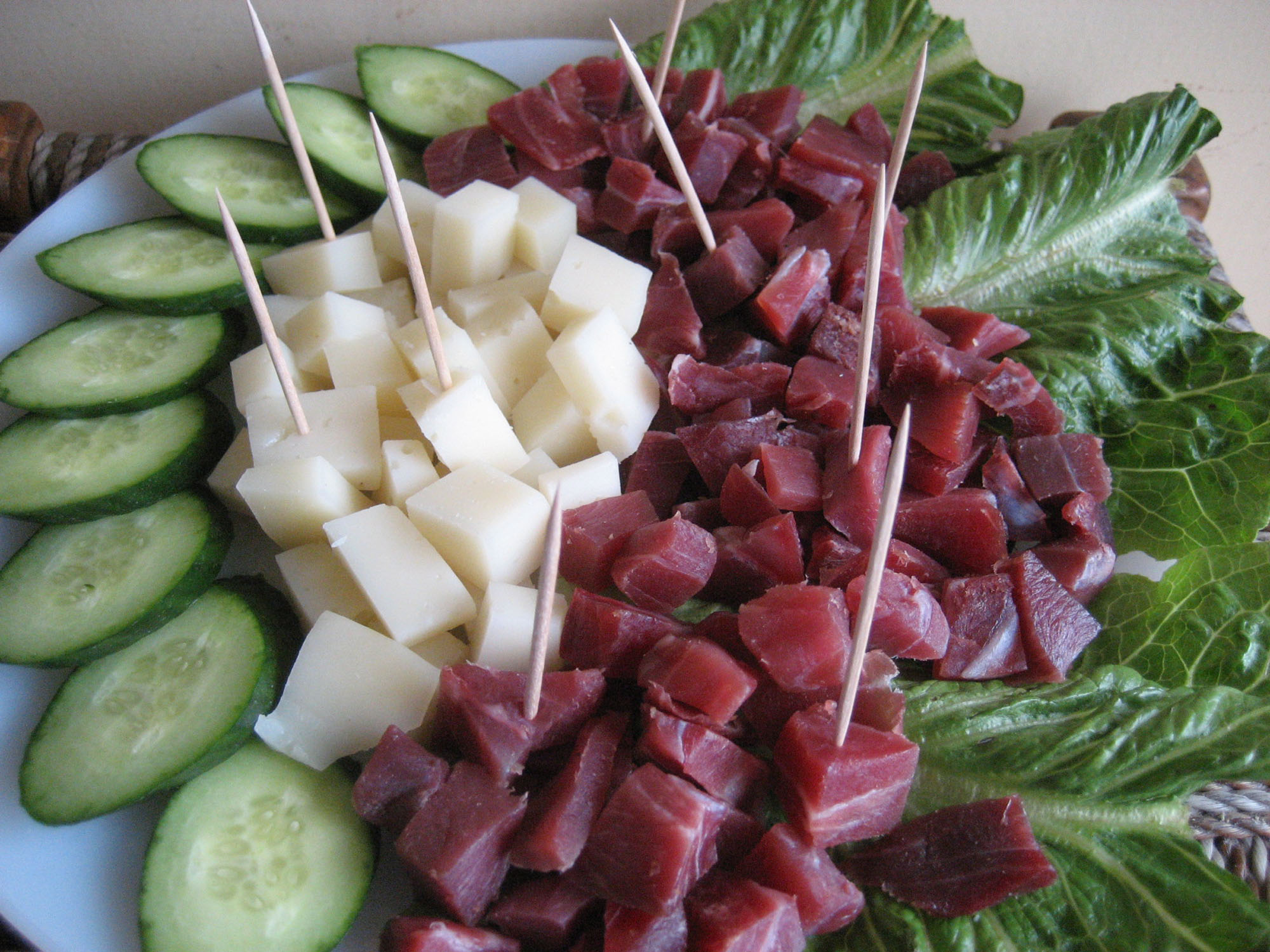
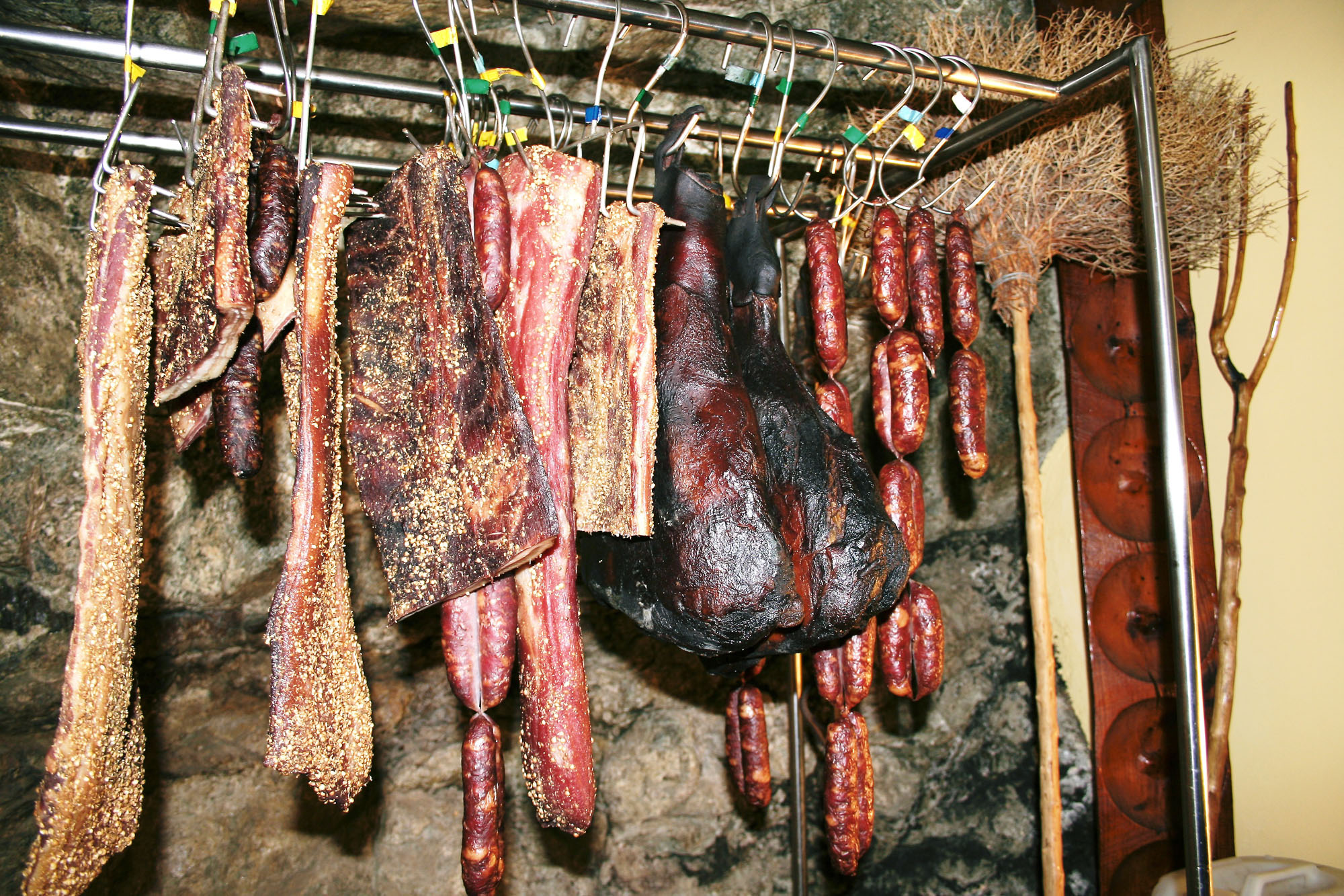
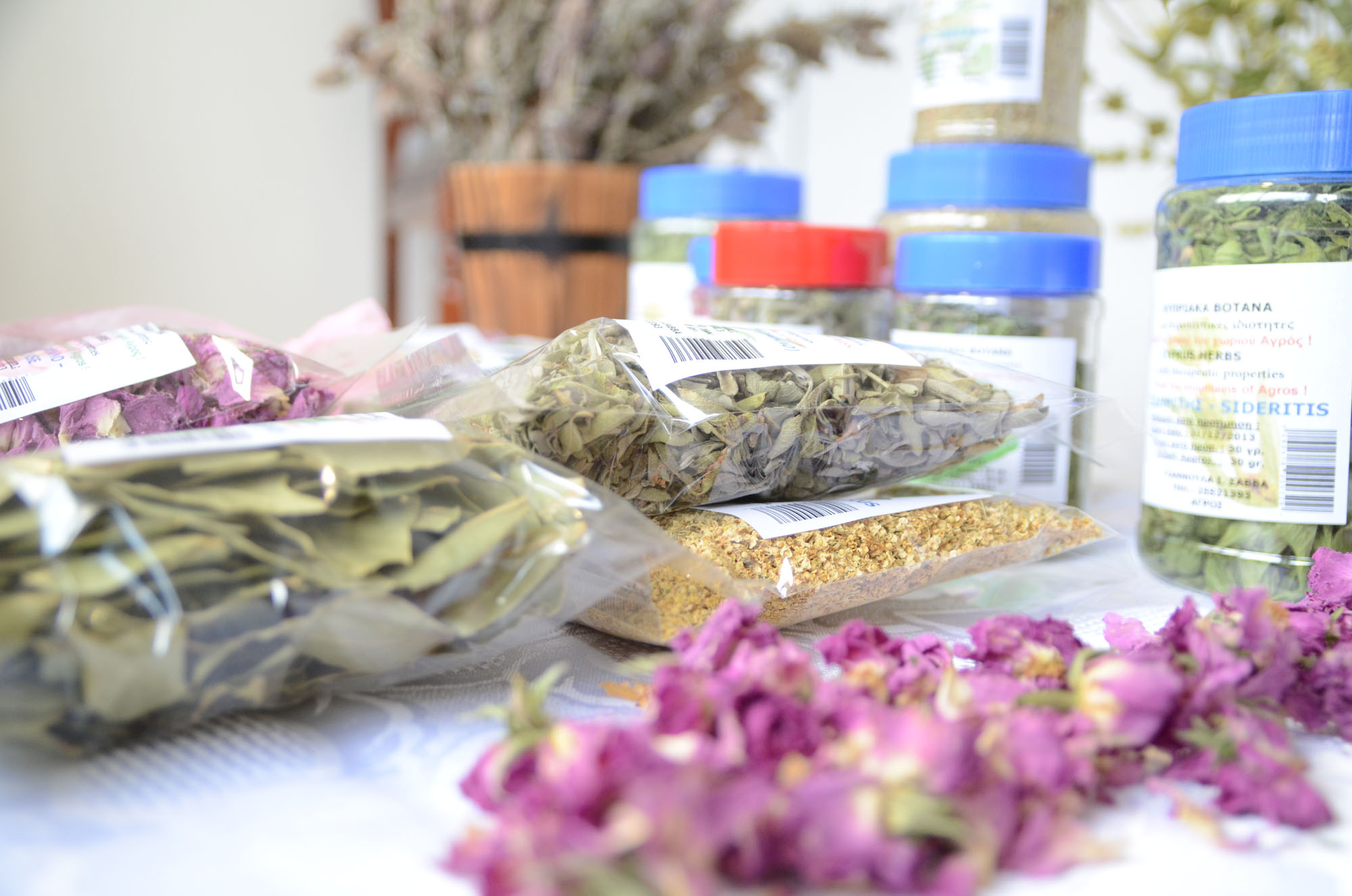
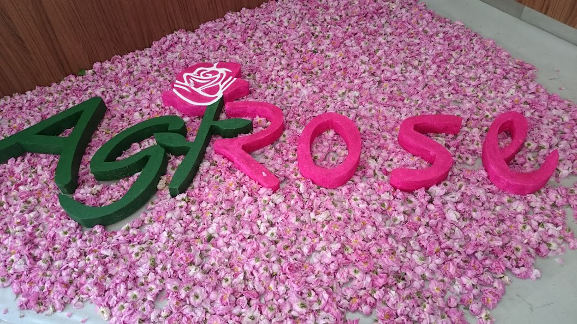
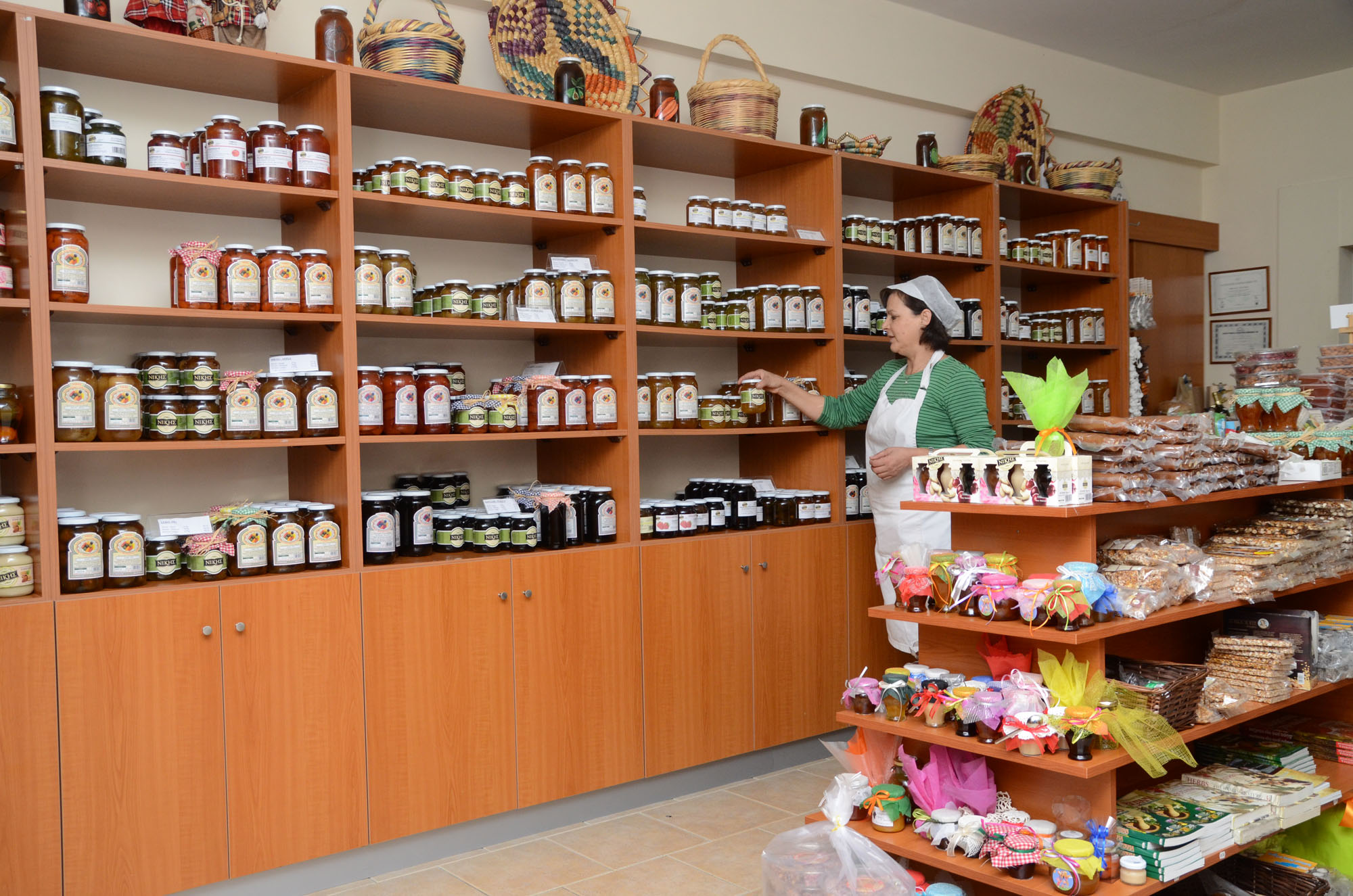
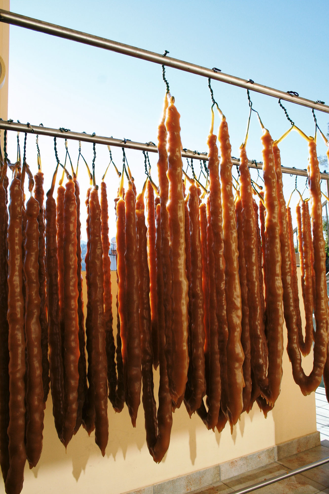
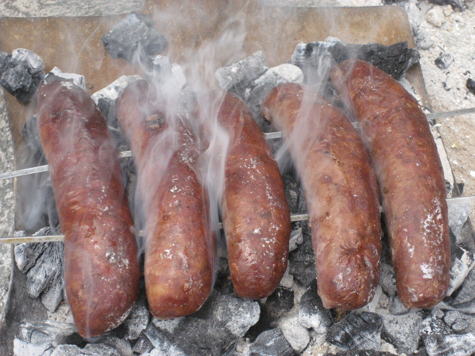
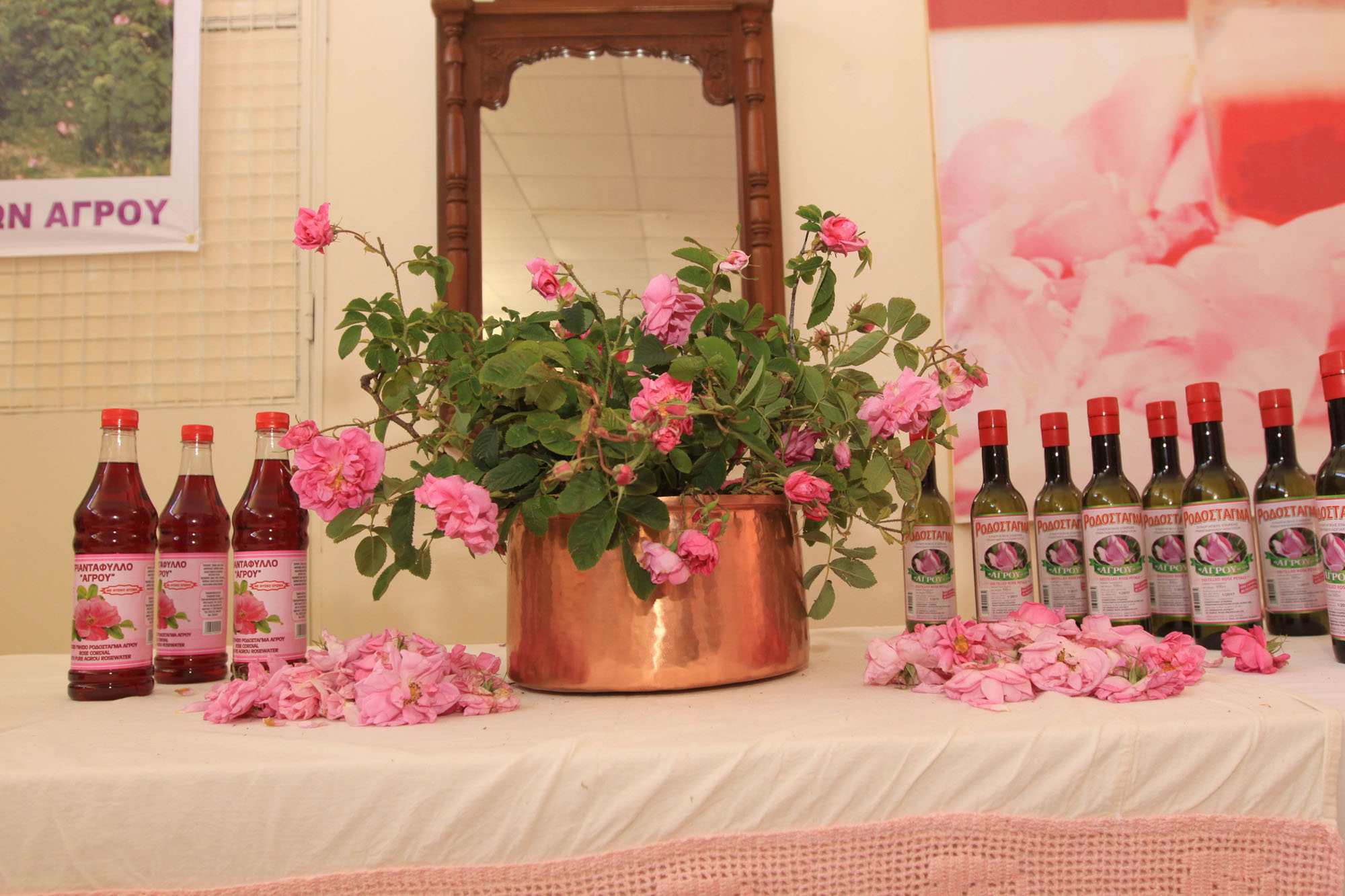
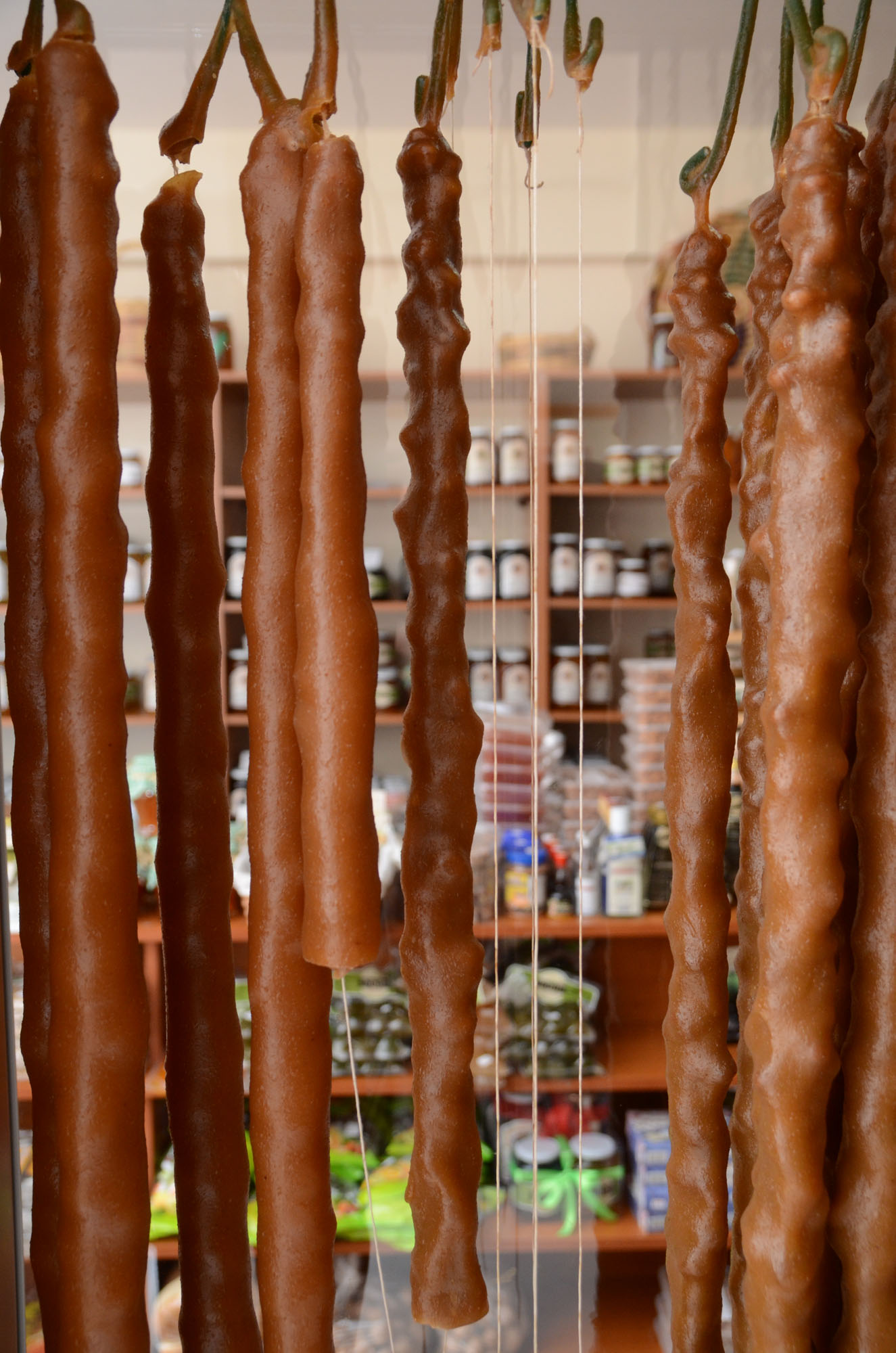
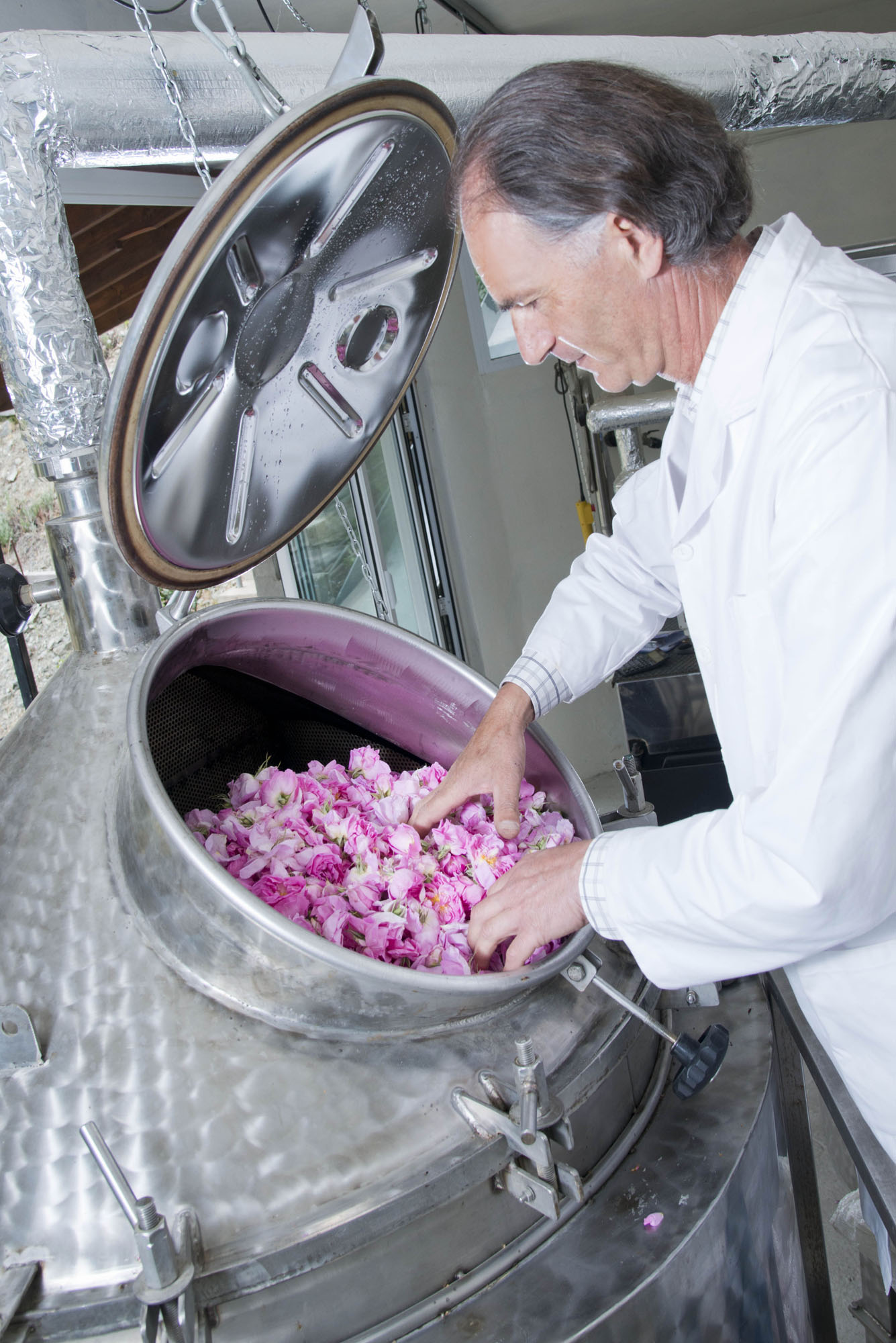
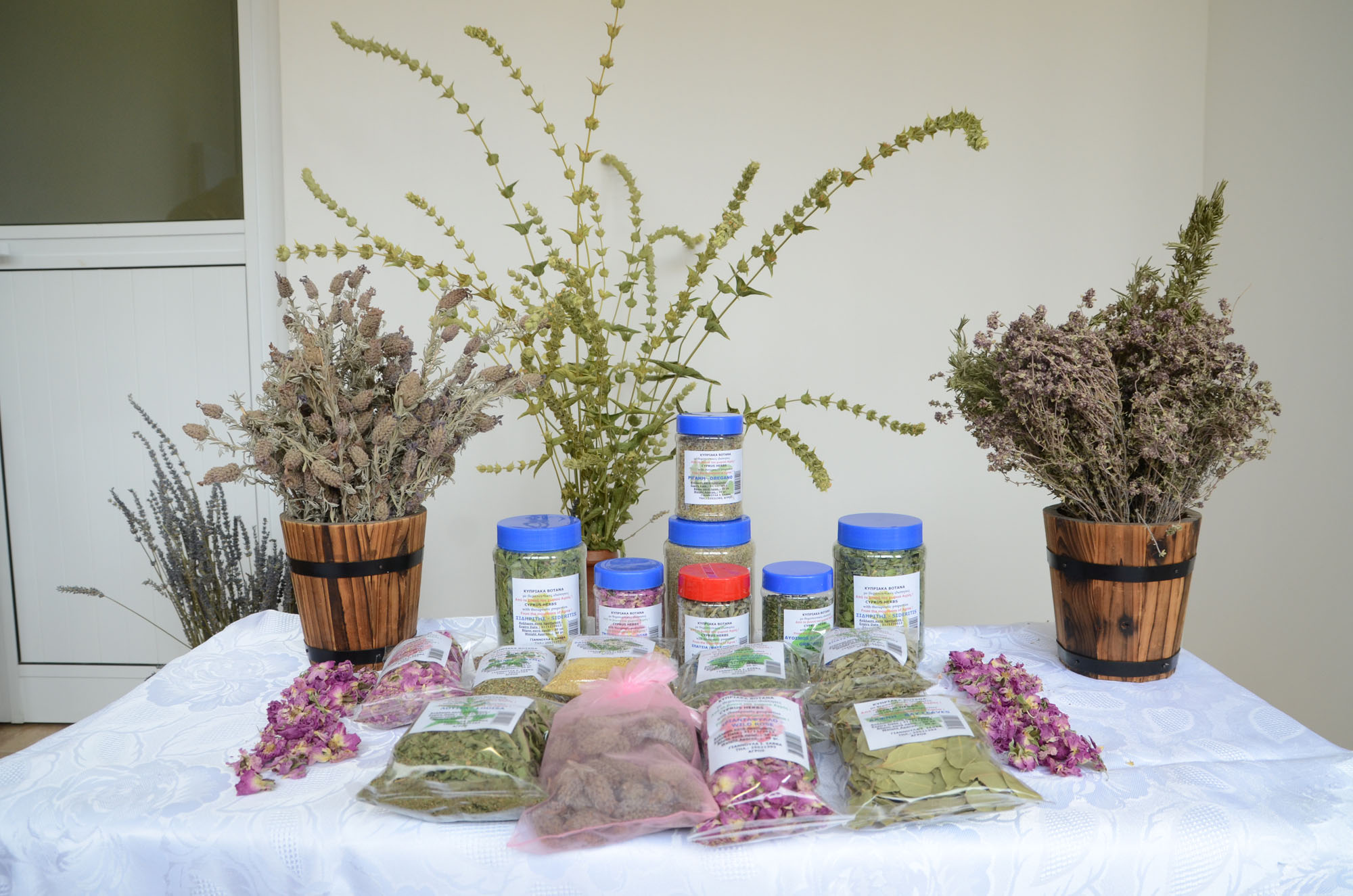
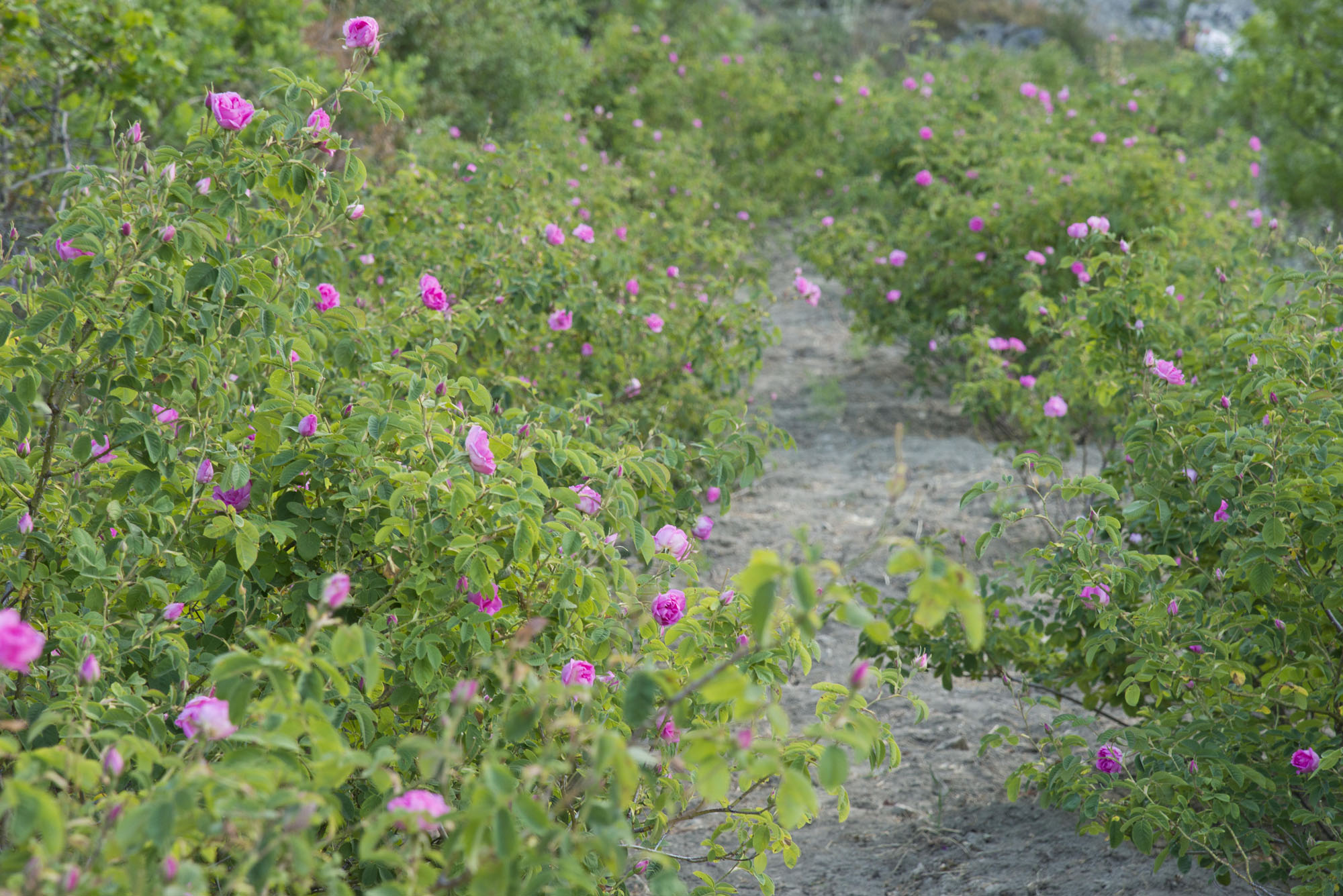
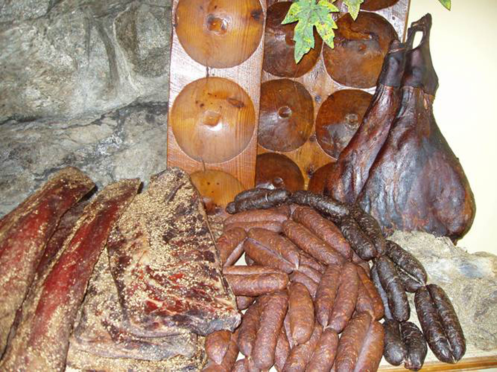
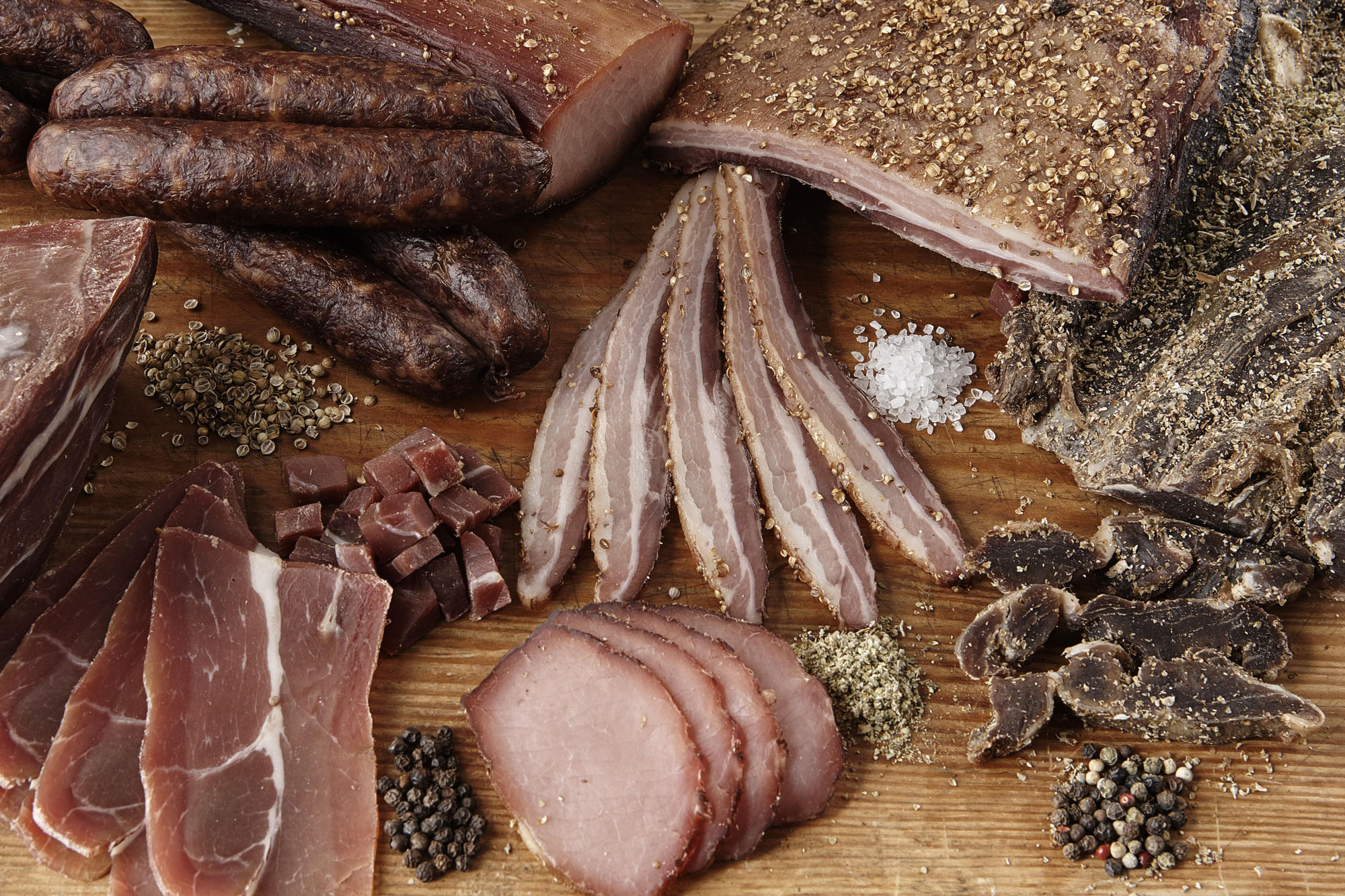
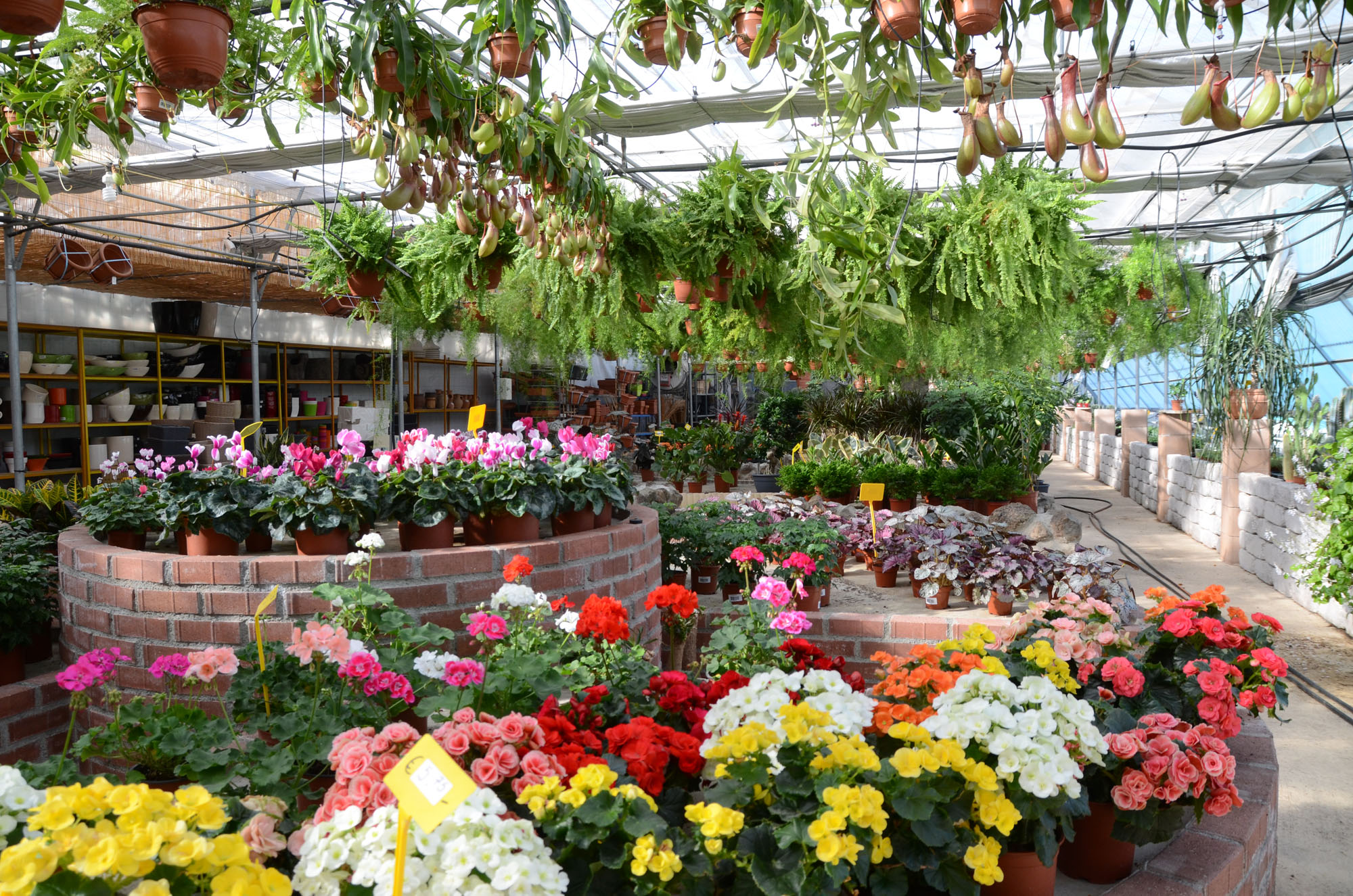
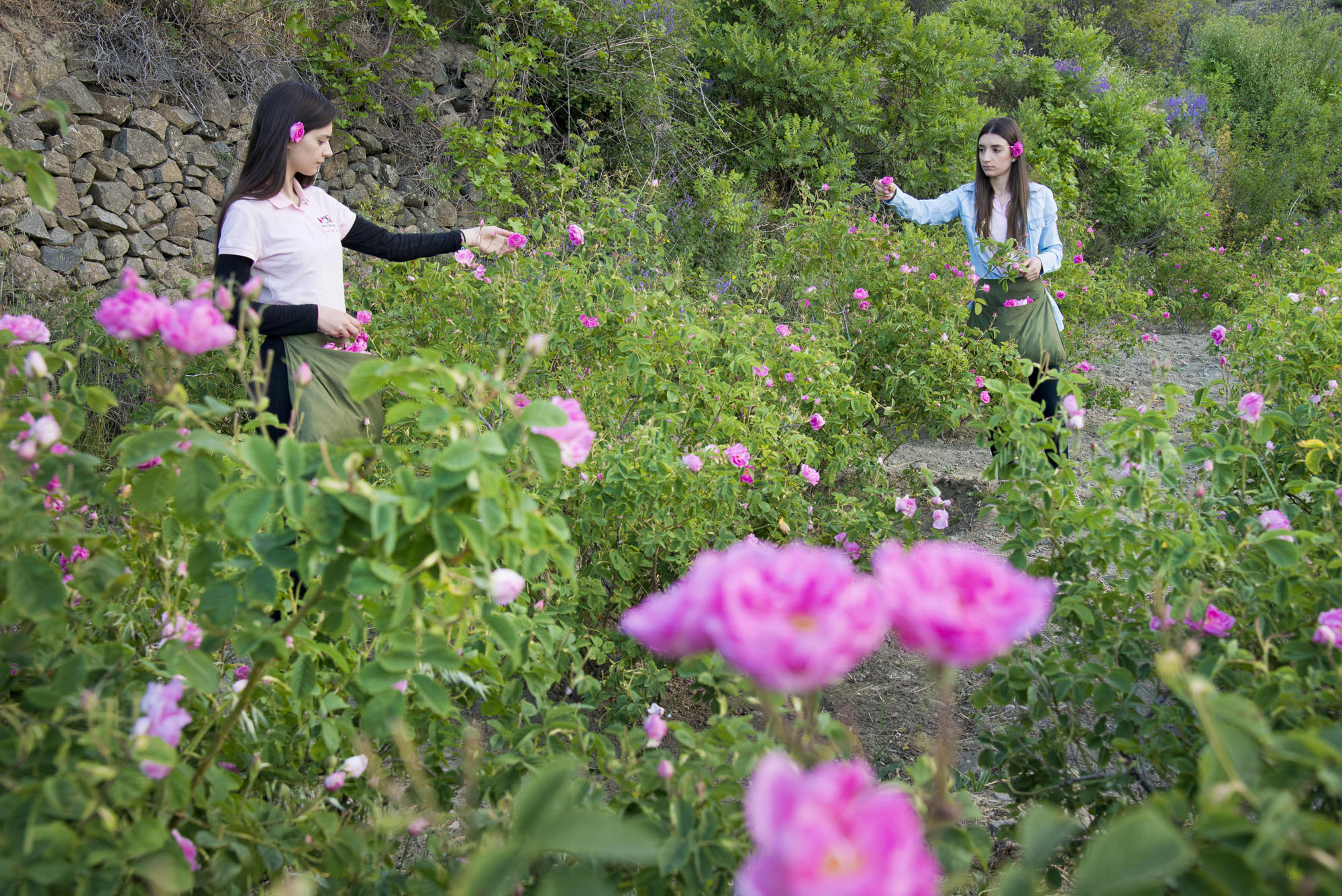
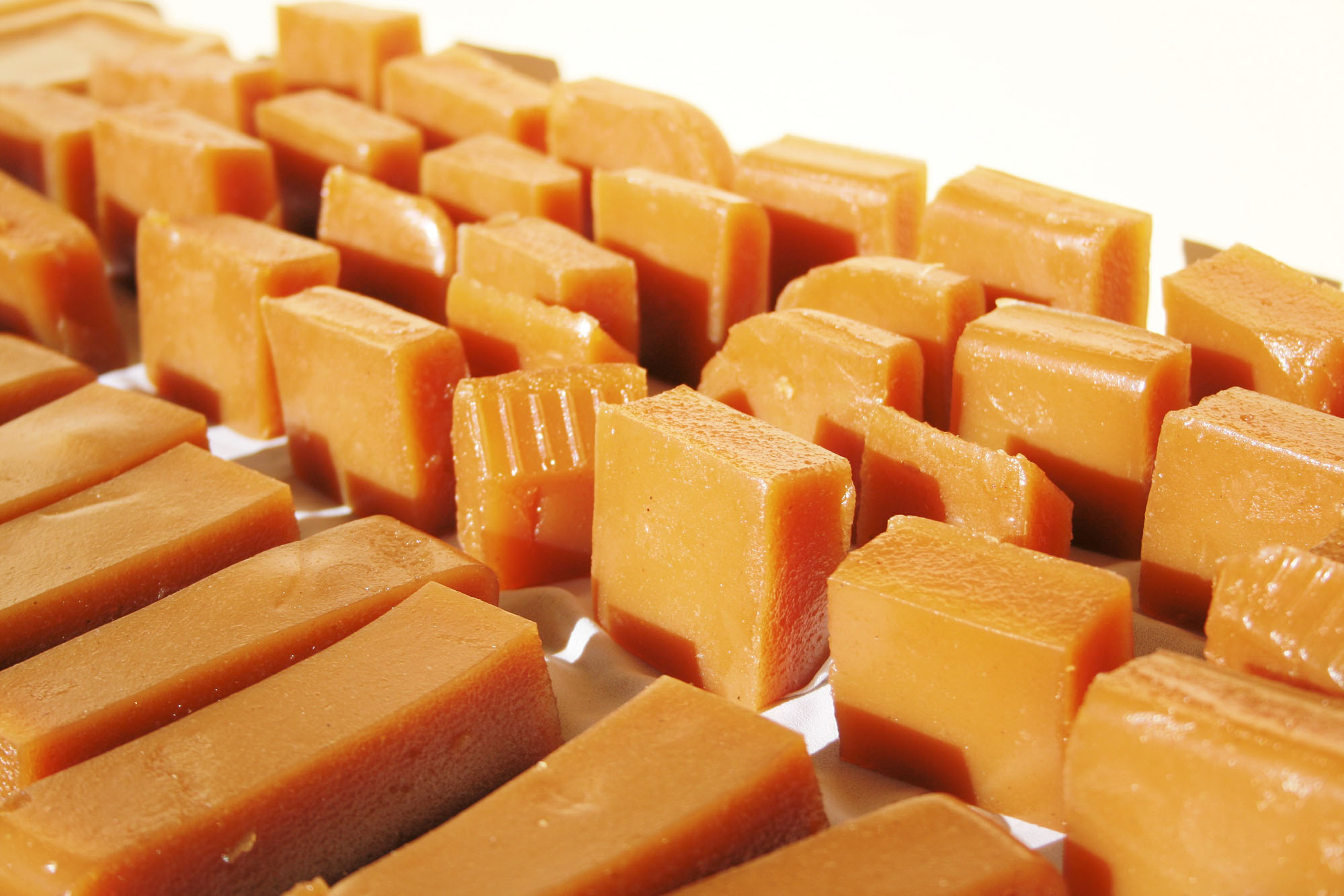
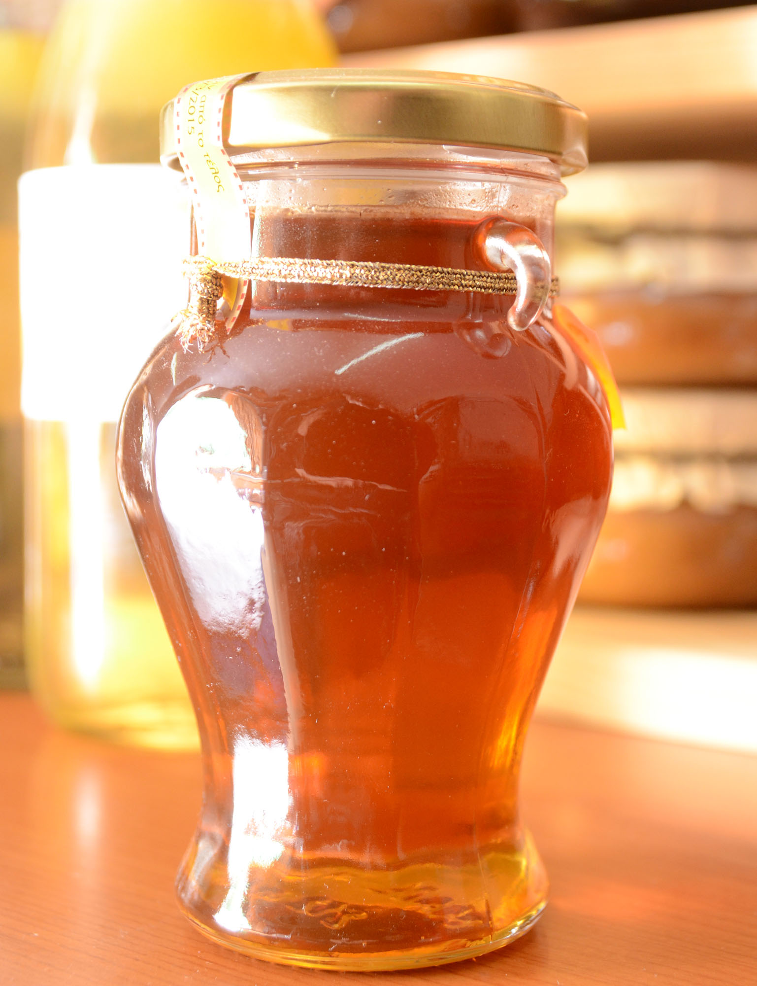
On your way to the three neighborhoods of Agros you will discover the unique traditional craft shops, with the delicious preserved sweets, the traditional soutzouko (threaded almonds dipped in grape juice with flour) and palouze (jellified sweet made from grape juice and flour), the pure bee honey, the village halloumi and the cured meats (sausages, ‘Lountza’ and ‘Hiromeri’). You will come across fresh fruits and vegetables, the nursery garden with its beautiful flowers and aromatic plants and trees, and you will see how village wine and traditional zivania are produced. You can also visit the pottery workshop and appreciate the beautiful smell of the roses which, apart from the famous Agros rosewater, also produce many other products such as tea, liqueur, aperitif, wine, aromatic candles and organic cosmetics. Visitors can see these traditional practices at the workshops where rose oil distillation, sweet making and meat production take place.
The village of Agros was named after the Monastery of Megalos Agros, which was built at the spot where the Church of Panayia of Agros is found today. According to tradition 40 monks from Kizikos of Minor Asia, during the era of icon fighting abandoned the Monastery of Megalos Agros and arrived in Cyprus carrying the icon of the Holy Mother. They ended up at the area where Agros is today located, stayed for a certain period in a cave and then they built a new monastery naming it Monastery of Megalos Agros just like the prior monastery they used to live in. In 1692 A.C. death virus spread all over the island causing death to 2/3 of the population. The survivors left their houses and moved close to the monastery. So a new village was formed with the name of Agros. Finally in 1894 the monastery was ruined leaving the village a great historical inheritance.
PITSILIA AREA
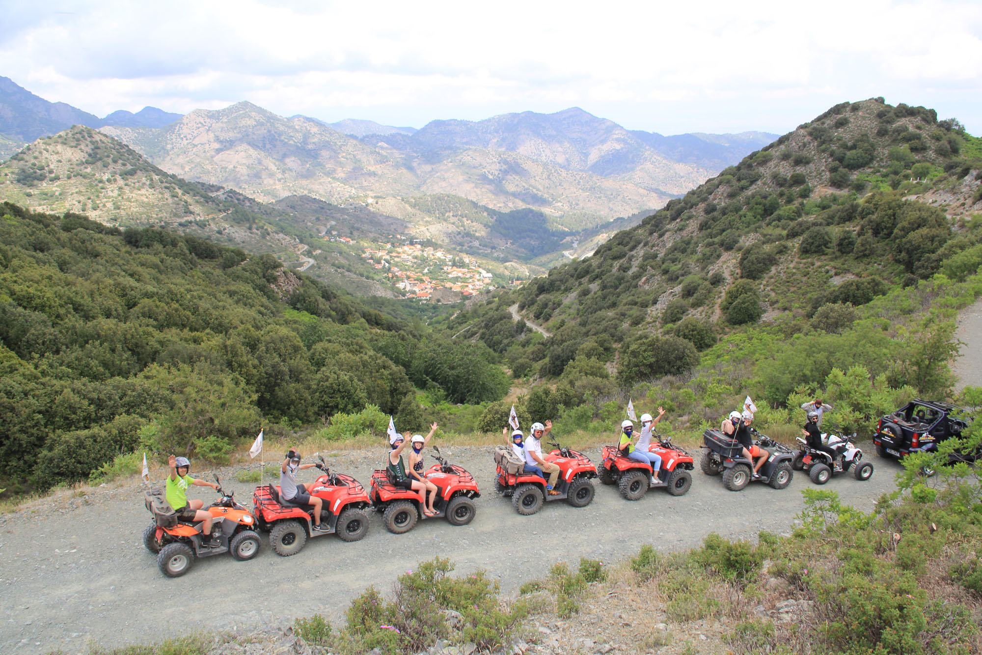
The area east of Mount Olympos is known as Pitsilia and includes about 40 villages.
Its highest peaks are Madari (1612m) and Papoutsa (1554m). The picturesque villages settle on the mountainside among vineyards, or are hidden in valleys, maintaining much of their traditional charm.
The hills and valleys that surround the village are full of vines, fruit trees, almonds, hazelnut, walnut…
Exquisite landscapes, old churches and chapels , warm hospitality of the local peoples make the Pitsilia region one of the most beautiful parts of Cyprus.
Pitsilia area is accessible either from Lemesos (Limassol), or from Lefkosia (Nicosia).
VILLAGES NEAR BY: Potamitisa, Palaichori, Fterikoydi, Pelendri, Platanistasa, Askas, Alona, Kyperounta
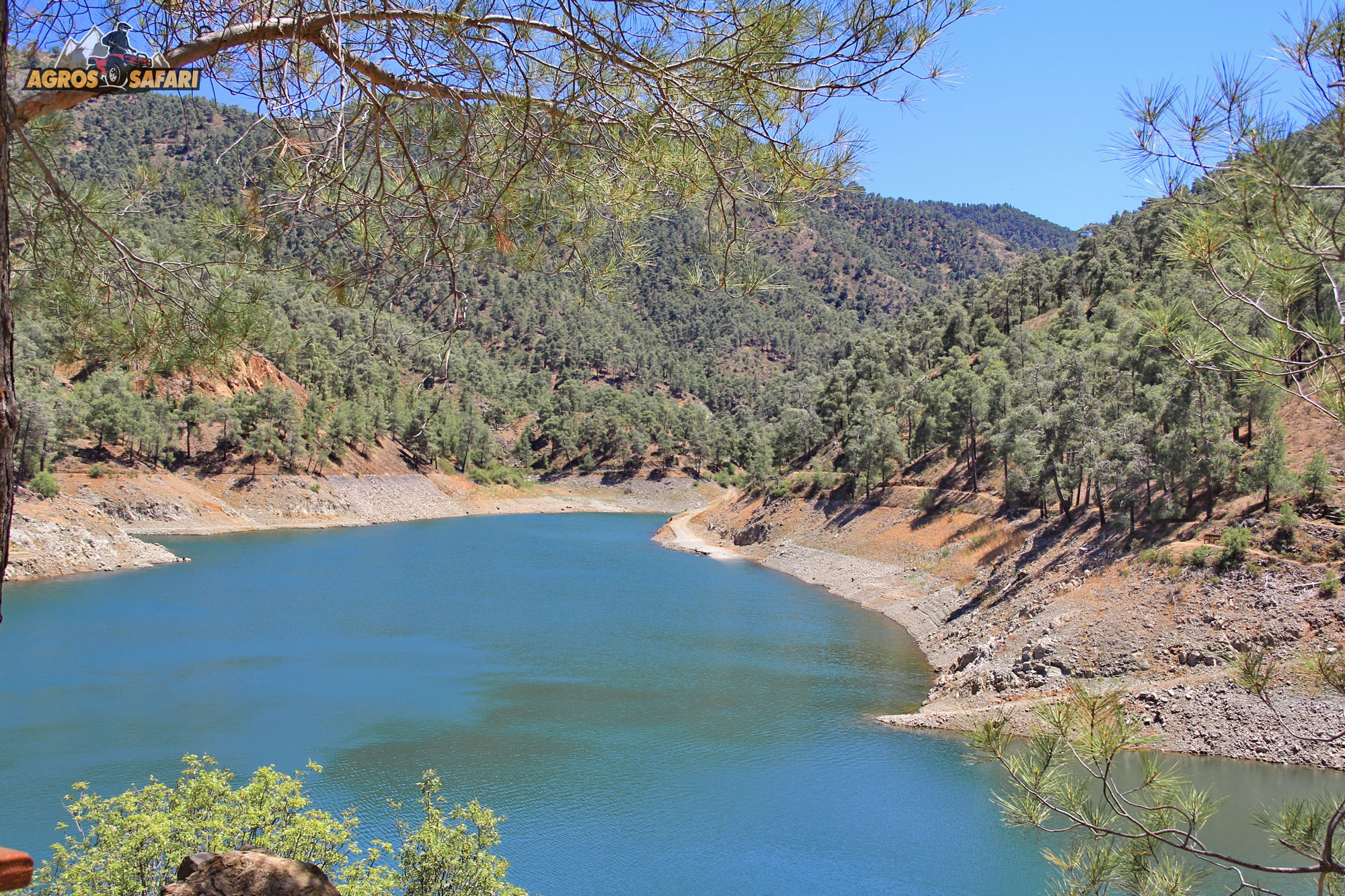
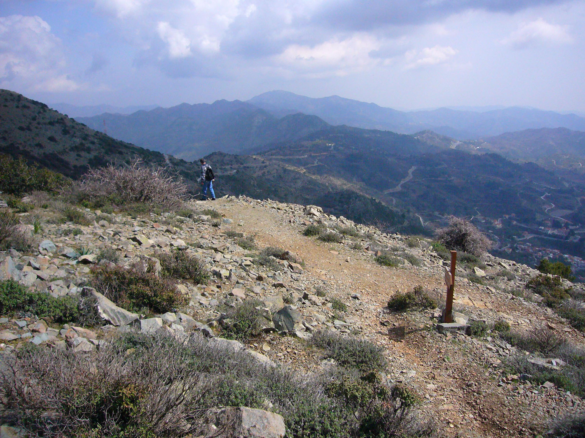
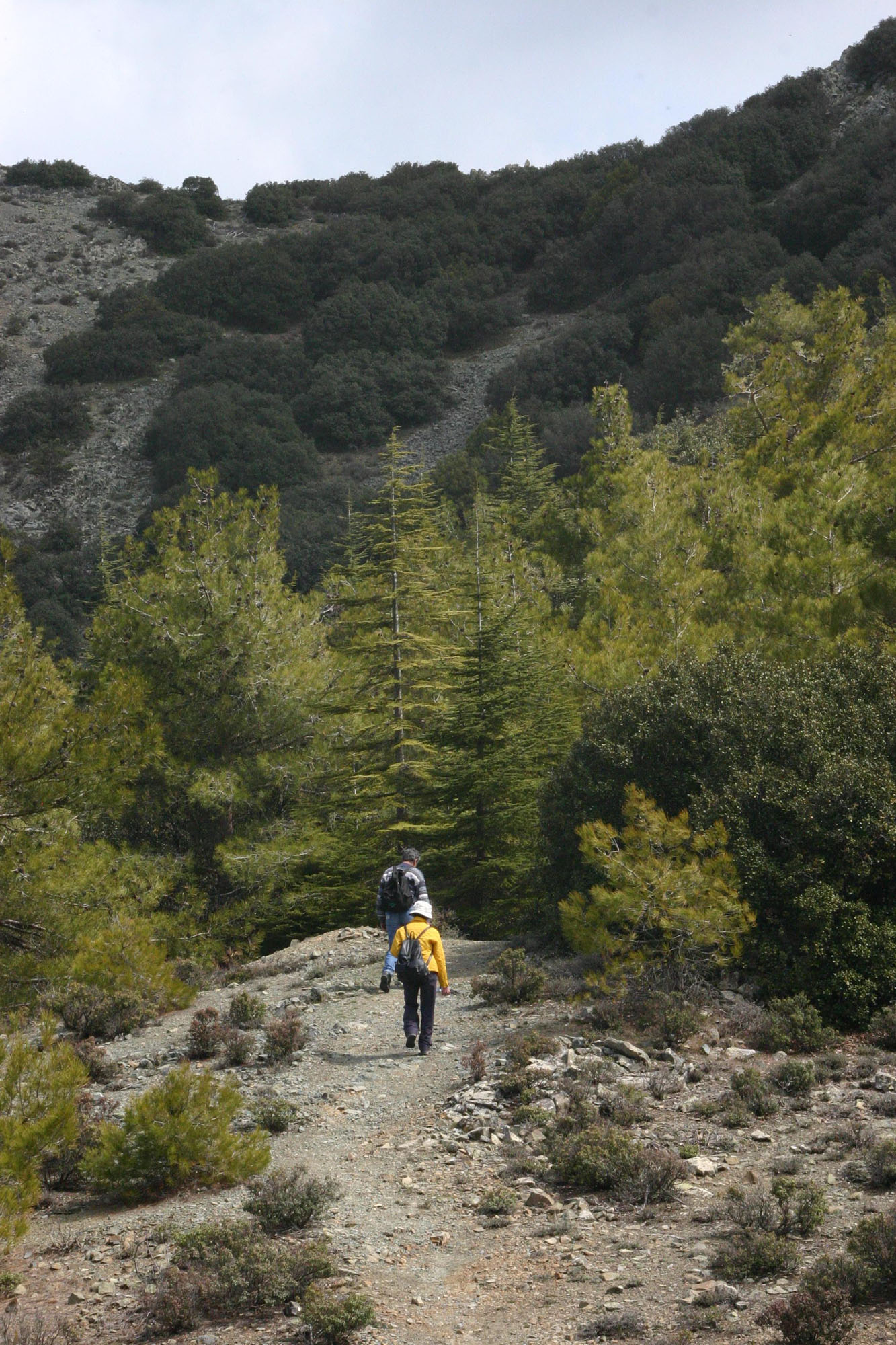
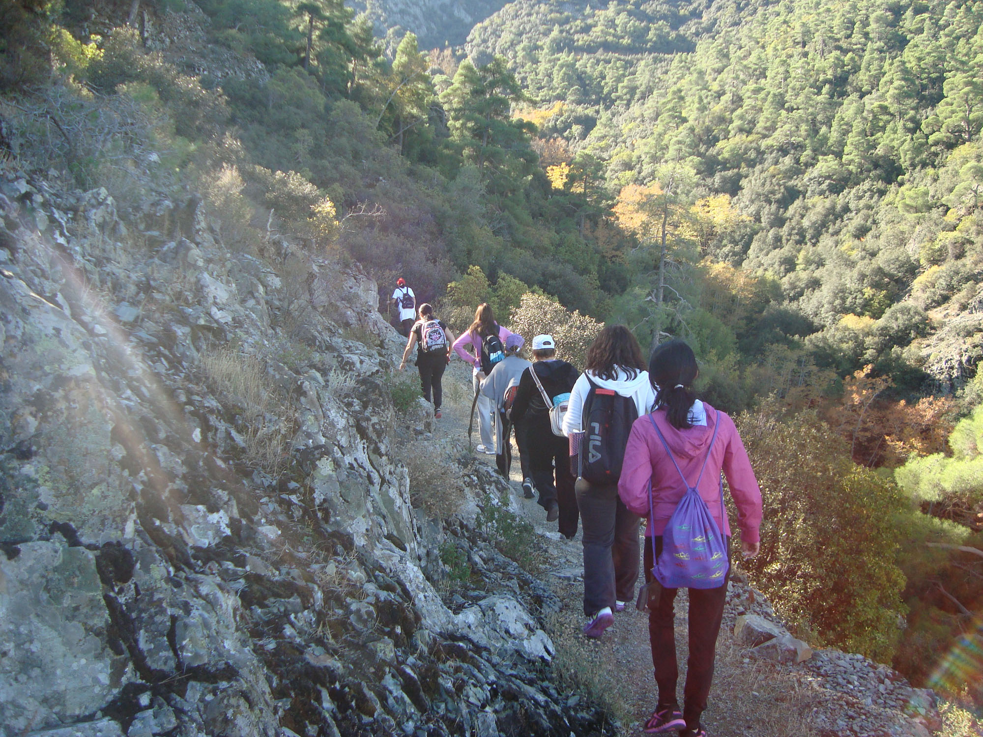
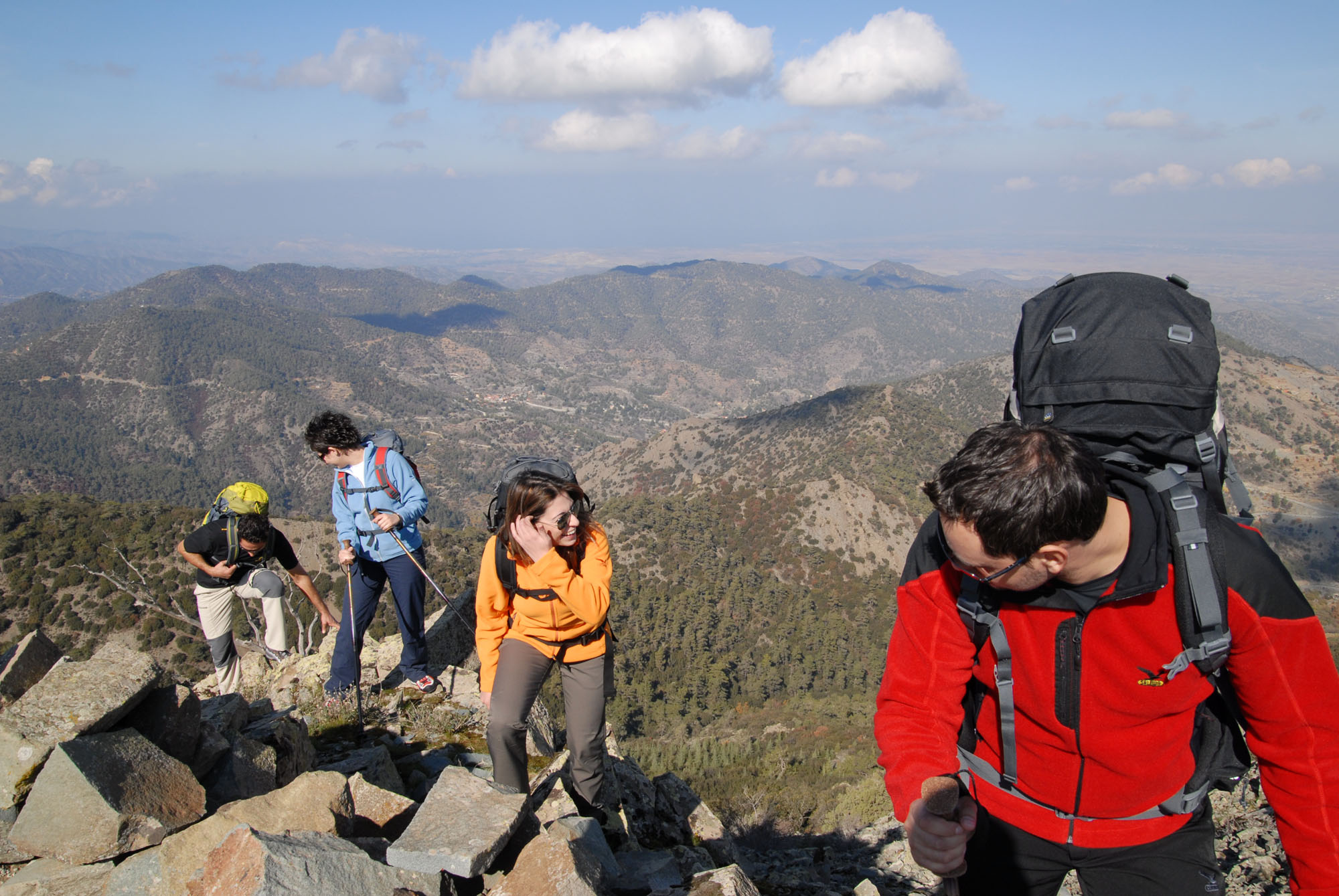
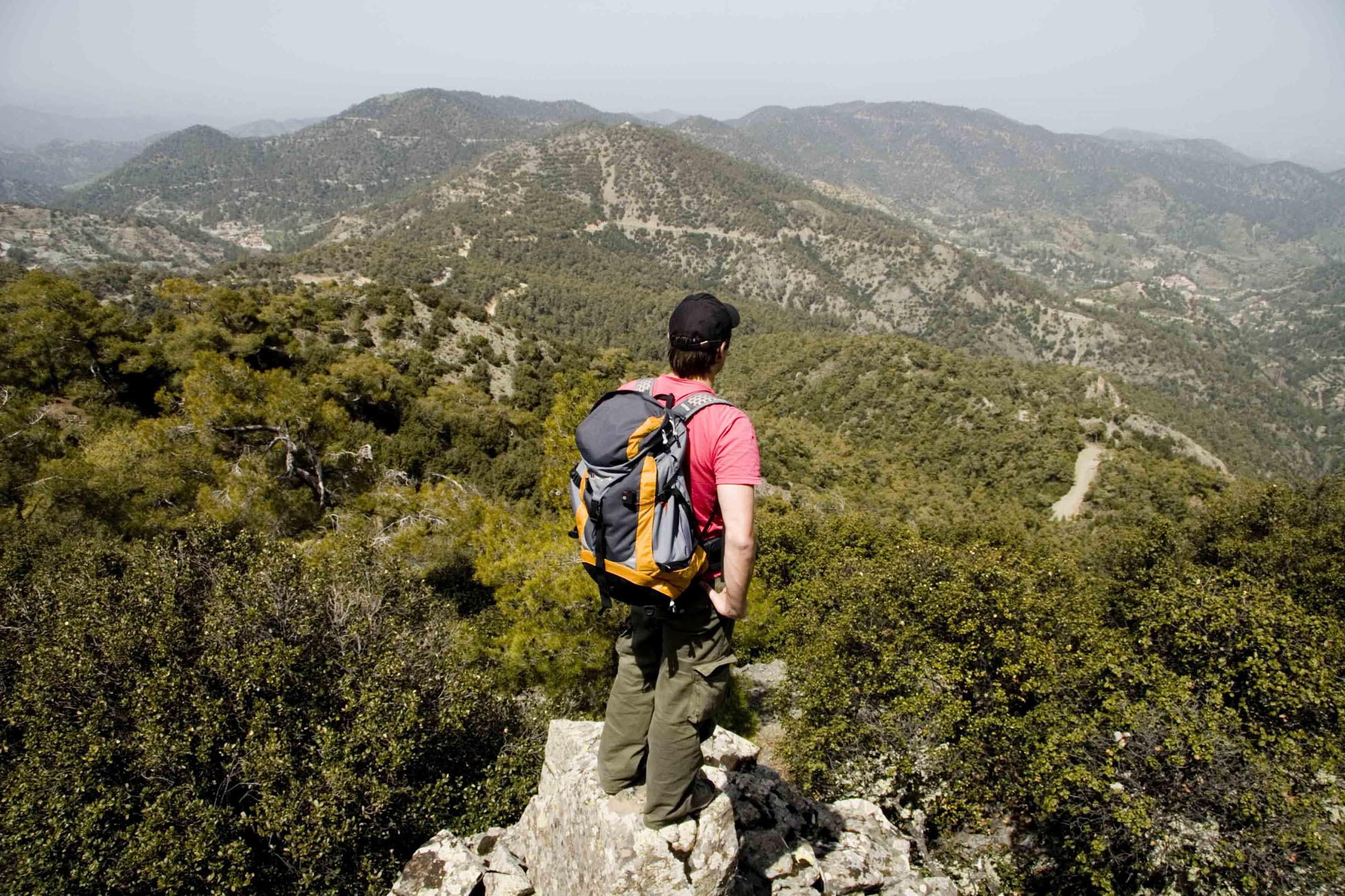
NATURE TRAILS / HIKING
The walking trails of the area, are of immense beauty and peace. Feel the pure and clean air, the beauty of the forest and be ready for unique experiences, in natural waterfalls and places where, you can become one with nature!
DOWNLOADS:
http://www.visitcyprus.com/files/Routes/nature_trails/Cyprus_Nature_Trails_2013_EN.pdf
http://www.visitcyprus.com/files/EDEN/EDEN_Cyprus_2012_EN_GR_FRE_GER.pdf
http://www.visitcyprus.com/files/EDEN/EDEN_Cyprus_Routes_5_2017_EN.pdf
http://www.visitcyprus.com/files/rural/Mountain_tips_2012_EN.pdf
TRAILS
AGROS – MADARI (LINER) ( This trail offers panoramic views)
| Start Point: | From Agros village. On the Agros by-pass, at a point above the dam. The course joins at the Chandria/Polystypos – Agros village, 800 metres before the road point leading to the Adelfoi peak and Madari fire lookout station. |
| End Point: | Madari |
| Estimated Duration: | 3 hours |
| Difficulty Rate: | Category 3: High degree of difficulty. Route with difficult terrain such as sudden changes in gradient (uphill and/or downhill), course along particularly rough and/or slippery, and/or narrow, and/or steep terrain. Suitable for adults in very good to excellent fitness levels. Unsuitable for young children. |
| Trip Length: | 3 kilometres |
LAGOUDERA * AGROS (LINER)
This path runs through vineyards and orchards of apple, cherry and pear trees. The first section starts near the village of Lagoudera, runs parallel to and then crosses the river. At the Madari – Papoutsa mountain crest, there is a panoramic view. From the ridge it is possible to head towards Madari, along the access road or the trail network starting at Adelfoi peak. The Lagoudera starting point is near the Lagoudera – Stavros tou Agiasmati trail.
| Start Point: | The rural road between Lagoudera and Chandria – Polystypos main road, 700 metres from Lagoudera village. |
| End Point: | Agros village, (along the Agros by-pass, at a point above the dam) |
| Estimated Duration: | 2 hours and 30 minutes |
| Difficulty Rate: | Category 3: High degree of difficulty. Route with difficult terrain such as sudden changes in gradient (uphill and/or downhill), course along particularly rough and/or slippery, and/or narrow, and/or steep terrain. Suitable for adults in very good to excellent fitness levels. Unsuitable for young children. |
| Trip Length: | 6 kilometres |
AGROS – KATO MYLOS (CIRCULAR)
The trail goes through vineyards, orchards with apple, cherry and pear trees as well as rosebushes from which the renowned Agros rose water is made. It continues through forested area with excellent views of the surrounding region. The final section of the trail runs along an asphalt road that returns to the village of Agros.
| Start Point: | Near “Rodon” hotel at Agros village. |
| End Point: | Agros village |
| Estimated Duration: | 2 hours |
| Difficulty Rate: | Category 2: Average degree of difficulty, suitable for adults in fair to good fitness levels. Sudden changes in gradient (uphill and/or downhill), and/or course along narrow or rough terrain. |
| Trip Length: | 6 kilometres |
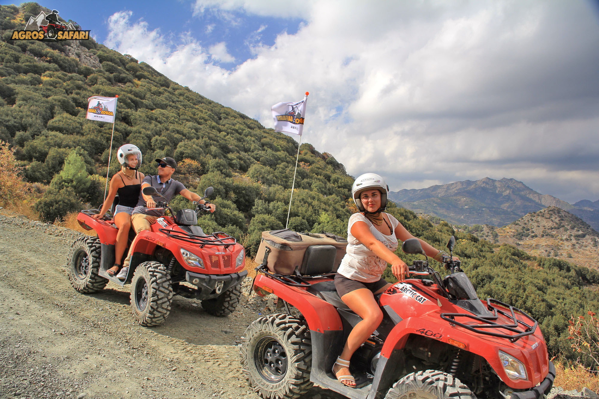
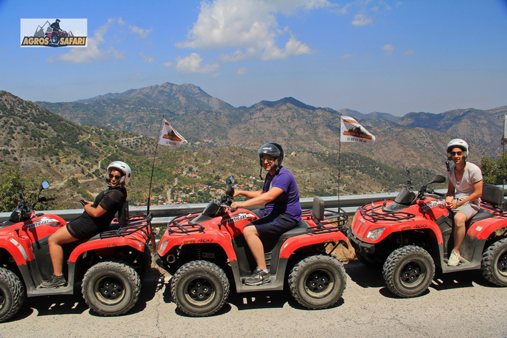
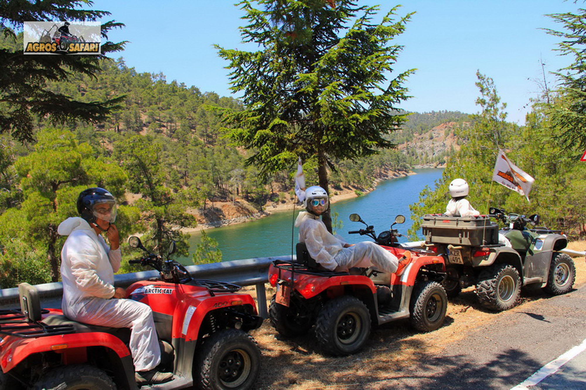
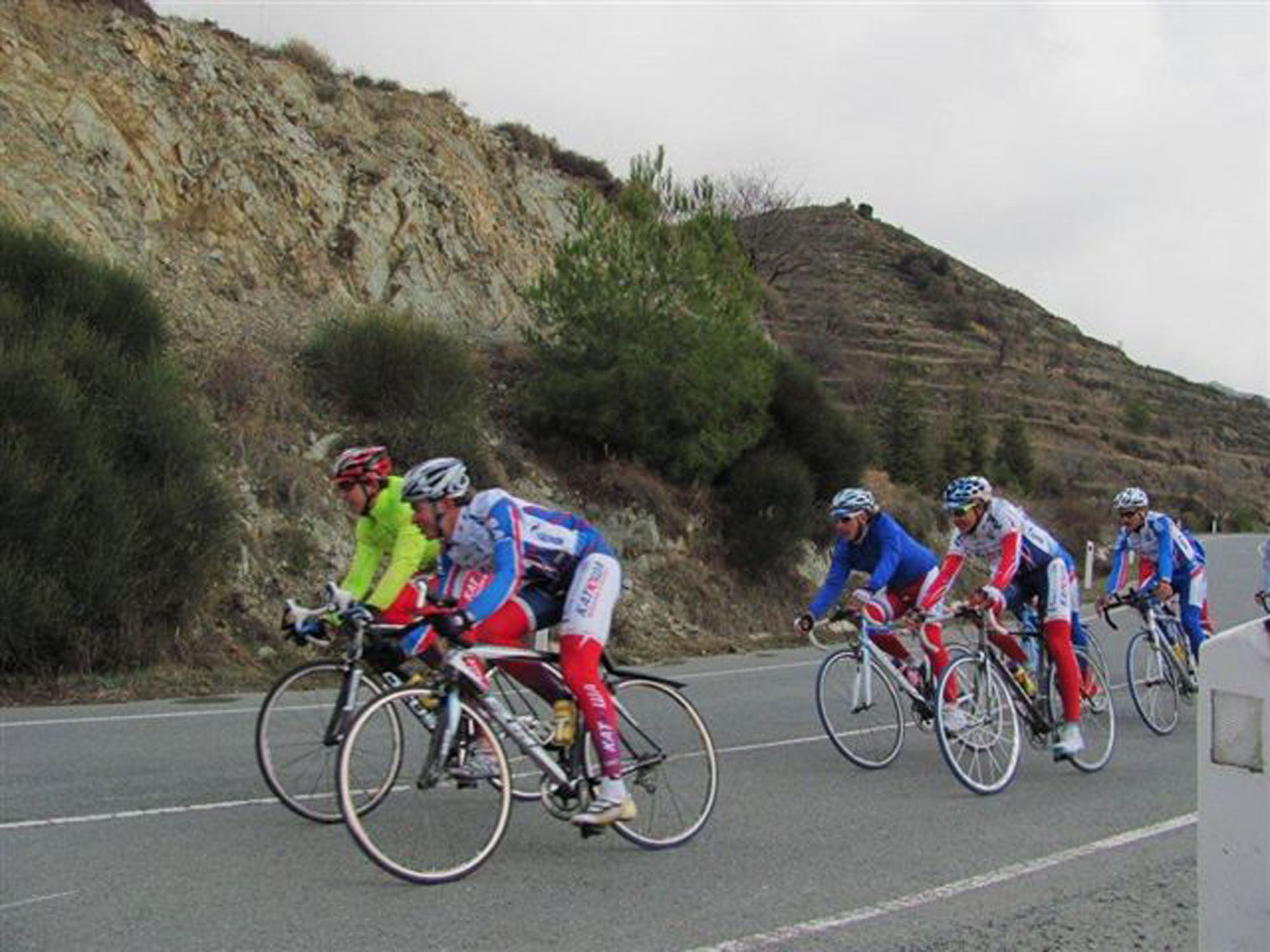
BIKING/ CYCLING
Mountain biking/cycling along the dedicated cycle routes
DOWNLOADS:
http://www.visitcyprus.com/files/Routes/cycling_routes/1_Troodos_Cycling_Routes_7_2008_EN.pdf
SKI – Skiing on Mount Olympus
The exciting Troodos mountain range with its tranquil forests expances across most of the western side of Cyprus offering a cool sanctuary in the summer and the opportunity for sports in the winter. At the top of the Troodos Mountains one can also find the only Skiing Center in Cyprus.
Skiing can be enjoyed on the hills of Mount Olympus (1951 metres a.s.l.), usually from the beginning of January until the end of March. Mount Olympus is only 2 km, from Troodos mountain resort, 45 km from Agros and about an hour’s drive from the seaside town of Limassol and the Capital, Nicosia.
MONASTERIES
Visiting the various monastery’s, churches and museums
http://www.visitcyprus.com/files/cultural_routes/Cyprus_island_of_saints_folded_12_2015_EN.pdf
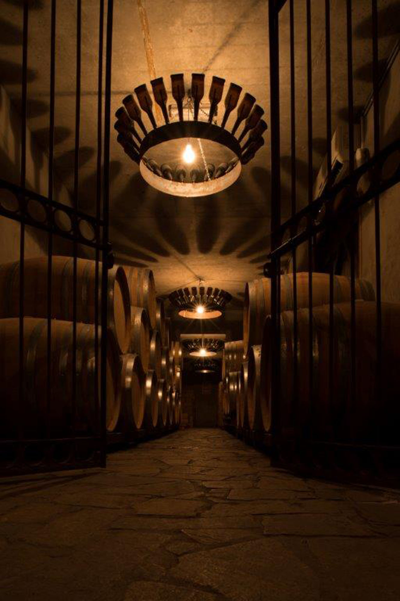
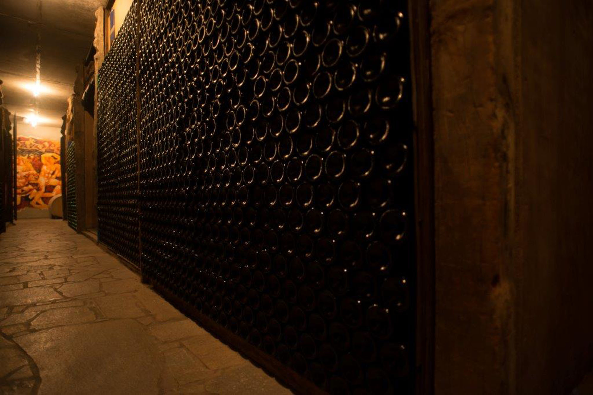
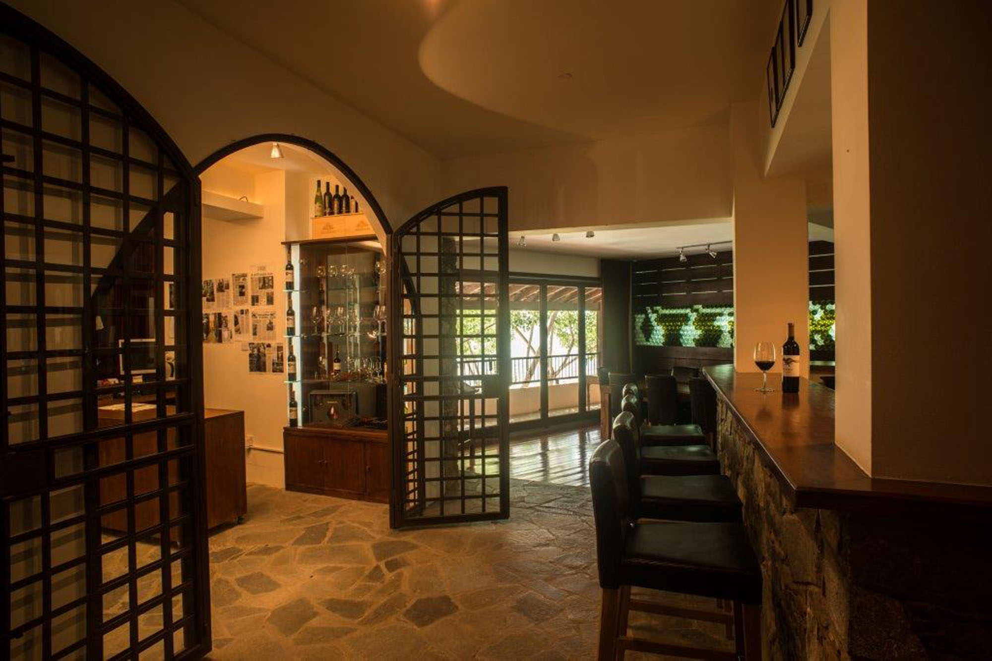
WINE ROUTES
Recent archaeological founding’s confirmed the production of wine in Cyprus for nearly 5,000 years. Most A great number of vineyards are located in the Troodos area, mainly on the southern slopes of the ‘Krassochoria’ and ‘Koumandaria’ regions. Local communities grow many indigenous and other varieties of grapes, ideal for wine
.http://www.visitcyprus.com/index.php/en/multimedia/item/56907-cyprus-wine-routes-english-pdf
BIRD WATCHING
Bird watching the many species in this area